What is recorded here
Ballygorman holds a rath at grid reference J0207 3464, joining a long line of fortified places scattered across County Armagh. The name suggests a defended home or landmark rather than a passive field marker, yet the entry gives no size, shape or date. It may have been a residence, a refuge or a boundary symbol for a local group. Whatever it was, it still belongs on the archaeological list and deserves to be seen as a lived place, not a forgotten dot.
Rath is recorded as a archaeological place in County Armagh. Its open map record supplies this location and any linked names or public references.
Places near here
 Creggan Freeduff Presbyterian ChurchChurch · 1420 yd
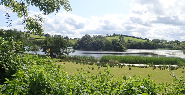 CRANNOG IN LISLEITRIM LOUGH in Kiltybane OR LisleitrimCRANNOG IN LISLEITRIM LOUGH · 1534 yd
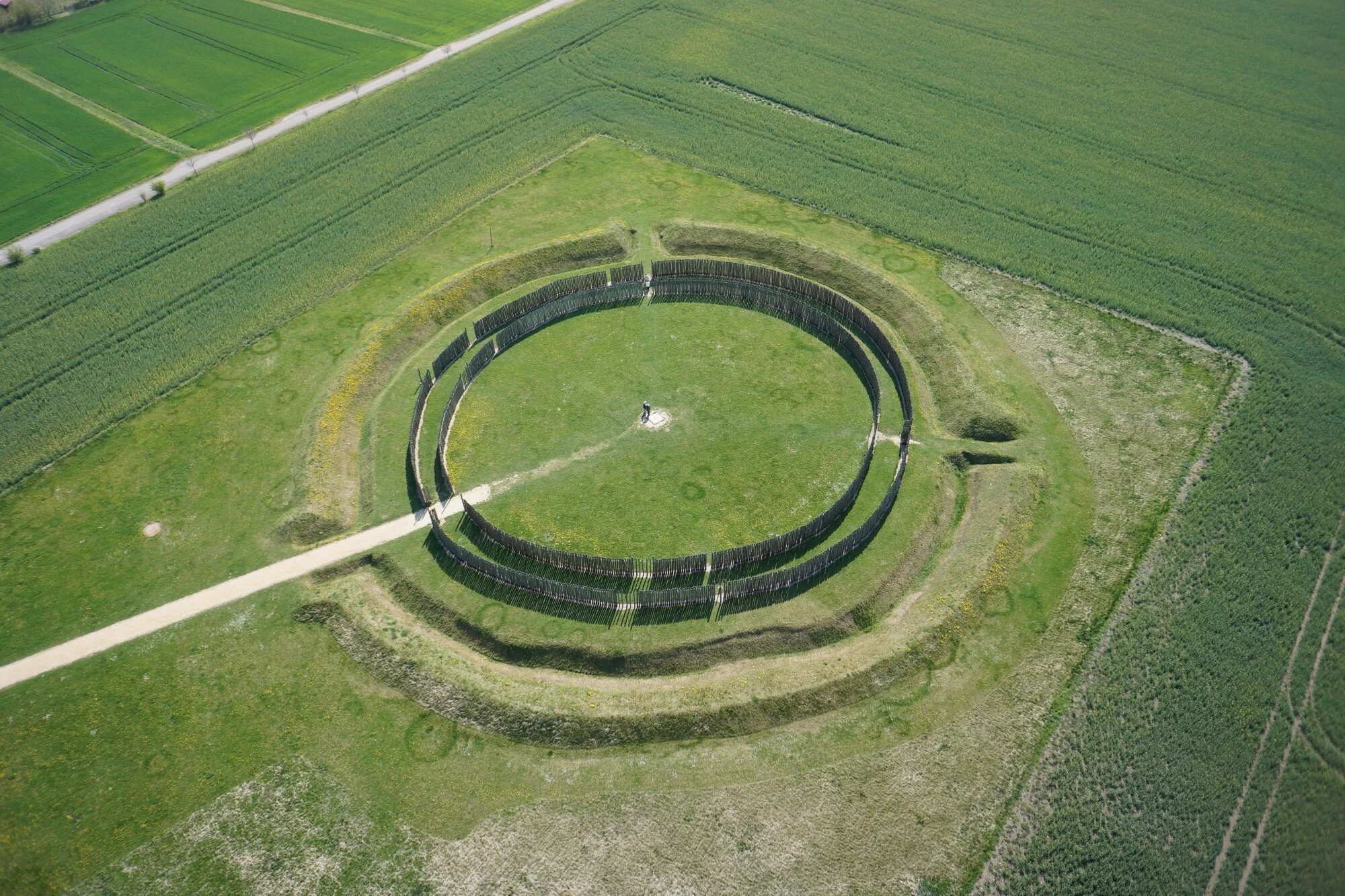 A.P. SITEA.P. SITE, large circular enclosure · 1576 yd
 Operation Conservationmilitary operation · 1.0 mi
 The Black Castle Chambered GraveArchaeological place · 1.7 mi
 Ummeracam BridgeBridge · 2.5 mi
 Battle of Newry Roadbattle · 2.8 mi
 MEDIEVAL & POST-MED. CHURCH & GRAVEYARD in Creggan Bane GlebeMEDIEVAL & POST-MED. CHURCH & GRAVEYARD · 3.1 mi
 Irish Hunger StrikersMemorial · 3.2 mi
 Crane IslandIsland · 3.4 mi
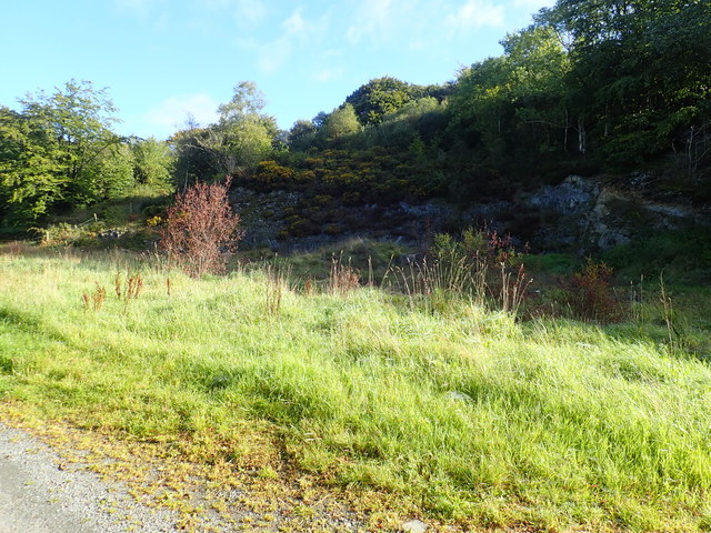 Aughanduff Upper MountainMountain / peak · 3.5 mi
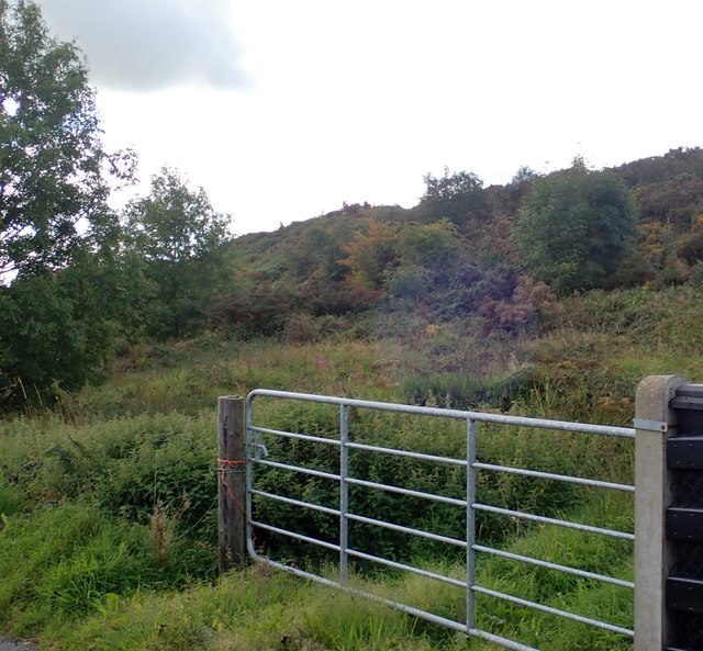 Aughanduff Lower MountainMountain / peak · 3.8 mi