What is recorded here
Rath names appear across County Armagh, from Ballenan to Carrickbroad, marking hidden forts and boundary stones rather than one singular grand castle. These are ordinary Irish landscape markers, the kind of place where people built defences, buried dead or drew lines between neighbourhoods. The repetition matters because it shows how often human life shaped that county before modern maps existed.
Rath is recorded as a archaeological place in County Armagh. Its open map record supplies this location and any linked names or public references.
Places near here
 ENCLOSURE in BallymoranENCLOSURE · 949 yd
 ENCLOSURE (unlocated) in LisnadillENCLOSURE (unlocated) · 1129 yd
 Roughan HouseHouse · 1.7 mi
 Tassagh ViaductViaduct · 1.9 mi
 CHURCH & GRAVEYARD: TASSAGH GRAVEYARD in TassaghCHURCH & GRAVEYARD: TASSAGH GRAVEYARD · 2.1 mi
 Mullacreevie ambushambush · 2.5 mi
 Armagh Rail Disaster Memorial SculptureMemorial · 2.7 mi
 No 5 Vicars' HillMuseum · 2.7 mi
 Battle of ClontibretMajor battlefield · 2.8 mi
 Abbey StreetVisitor information · 2.8 mi
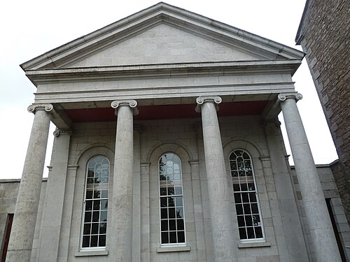 Armagh County MuseumMuseum · 2.8 mi
 Keady GlenForest · 4.6 mi