What is recorded here
Aghalislone holds a rath and barrow, marking the area as an old ceremonial landscape rather than an ordinary field. The rath may have served as a boundary, refuge or display of status, while the barrow suggests death and memory belonged to the same place. Together they imply that life, authority and loss were all being watched from the same ground.
Rath is recorded as a archaeological place in County Antrim. Its open map record supplies this location and any linked names or public references.
Places near here
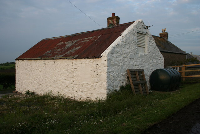 MOUND (cashel or barrow?): CASTLENAGREE in CastlenagreeMOUND (cashel or barrow?): CASTLENAGREE · 7 yd
 ENCLOSURE in CastlenagreeENCLOSURE · 441 yd
 ROUND CAIRN: CARNKIRK CASTLE in CarnkirkROUND CAIRN: CARNKIRK CASTLE · 463 yd
 CASTLE: BURNT HOUSE (O.S. memoir site; unlocated) in BallymoyCASTLE: BURNT HOUSE (O.S. memoir site; unlocated) · 1657 yd
 Former National SchoolHall · 1.3 mi
 MILITARY ENTRENCHMENTS: THE CASTLES in LisserlussMILITARY ENTRENCHMENTS: THE CASTLES · 1.3 mi
 Old Bushmills DistilleryHeritage attraction · 1.4 mi
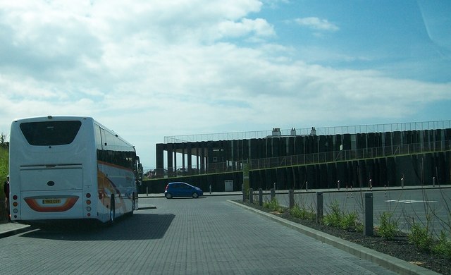 Giant's Causeway Visitor ExperienceMuseum · 1.5 mi
 Runkerry Stand (Bushfoot)Beach / strand · 1.6 mi
 Runkerry BeachVisitor information · 1.6 mi
 Blue Trail, Giant's CausewayWalking route · 1.6 mi
 Red Trail, Giant's CausewayWalking route · 1.7 mi