What is recorded here
Corliss Lower Fort stands in County Armagh as a rath, marking the earthly boundary where human hands shaped the land during the early Christian period. Its stones and soil preserve the forgotten rhythm of local life, perhaps holding workshops, rituals or quiet domesticity now lost to time. The fort remains a visible anchor for imagination, inviting wonder about the people who lived there and the daily purposes that gave the place meaning.
The official Northern Ireland record identifies this as RATH: CORLISS LOWER FORT. Recorded period: E.CHRIST.. The official map point was placed at the centre of the recorded archaeological site from the source map reference.
The monument record does not grant public access. Check the route and ask the landowner before entering private land.
- What survives
- Recorded monument
Places near here
 The Black Castle Chambered GraveArchaeological place · 1586 yd
 Clarebane Bridgebridge · 1.2 mi
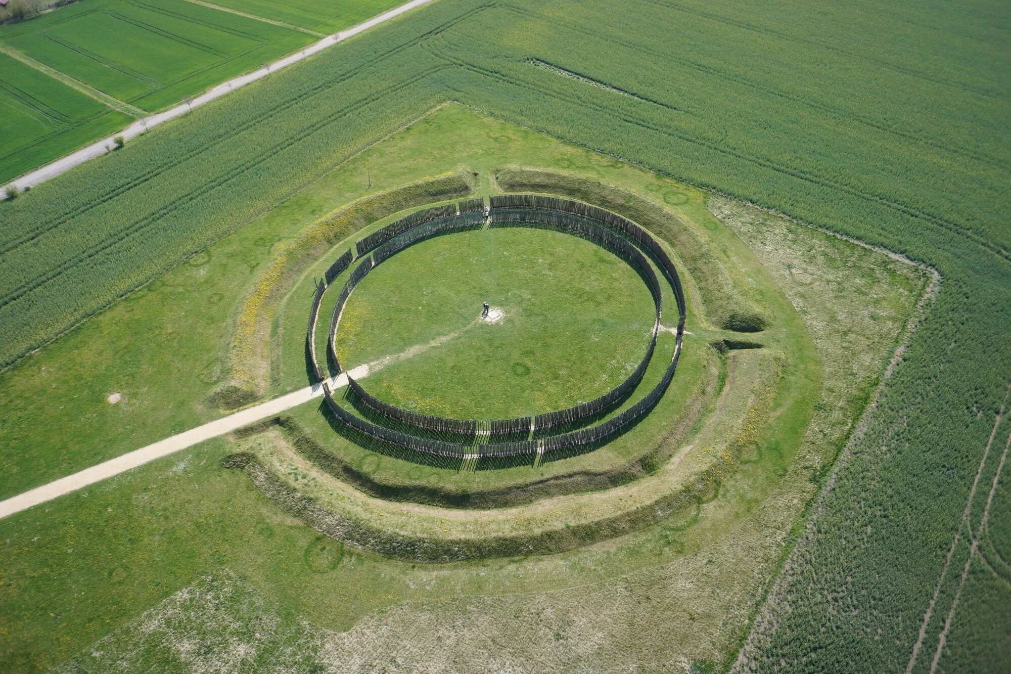 A.P. SITEA.P. SITE, large circular enclosure · 1.3 mi
 ENCLOSURE in CarranENCLOSURE · 1.6 mi
 Crane IslandIsland · 2.0 mi
 bridgebridge · 2.1 mi
 Whites IslandIslet · 2.2 mi
 Battle of Newry Roadbattle · 2.2 mi
 Dairy HillMountain / peak · 2.6 mi
 MEDIEVAL & POST-MED. CHURCH & GRAVEYARD in Creggan Bane GlebeMEDIEVAL & POST-MED. CHURCH & GRAVEYARD · 2.8 mi
 KnockreaghMountain / peak · 3.0 mi
 Lough MucknoLake and park landscape · 3.1 mi