What is recorded here
Rareagh Fairy Fort is a 17.5-metre earthen ring on a Donegal bluff, its seamless bank and shallow ramp inviting rather than warning. It stands in good farming land, perhaps marking a boundary between human fields and the hidden life said to occupy such forts. The missing south-east arc and rising ramp suggest an entrance, yet the shape still reads like a threshold rather than a defensive wall.
Internal diam. c. 17.5m. An almost circular platform surrounded by a single earthen bank up to 1.25m high. There is a slight step externally at the level of the interior. A small section of the bank along the SE arc is absent. This coincides with the position of an earthen ramp which rises to the platform level and may indicate an entrance feature. A trench in the interior is of recent origin. The 'fort' is situated on the end of a bluff in good farming land.
The above description was derived from the 'Archaeological Survey of County Donegal. A description of the field antiquities of the County from the Mesolithic Period to the 17th century.' Compiled by: Brian Lacey with Eamon Cody, Claire Cotter, Judy Cuppage, Noel Dunne, Vincent Hurley, Celie O'Rahilly, Paul Walsh and Seán Ó Nualláin (Lifford: Donegal County Council, 1983). In certain instances the entries have been revised and updated.
Date of upload: 22 September 2008
The monument record does not grant public access. Check the route and ask the landowner before entering private land.
- What survives
- Recorded monument
Places near here
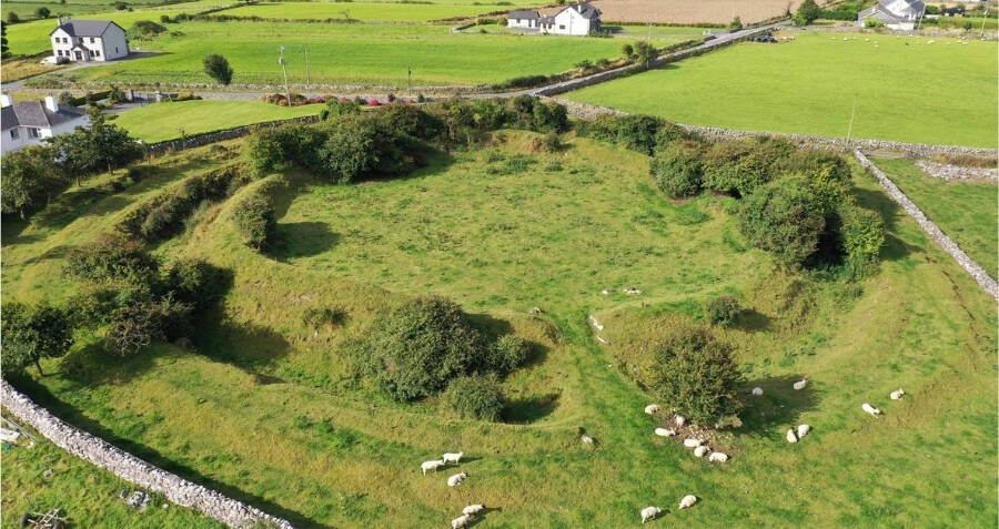 Rareagh Streamside Stone RingfortFairy fort / stone ringfort · 300 yd
 Back Lodgegate lodge · 1.4 mi
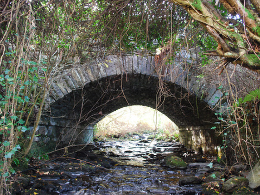 bridgebridge · 1.5 mi
 Newmills Corn and Flax MillsHeritage attraction · 1.5 mi
 Site of Castle SollusCastle, unclassified · 1.7 mi
 Battle of Scarrifholisbattle · 1.7 mi
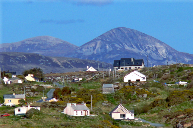 Rann Triple-Banked Fairy FortFairy fort / earthen ringfort · 1.8 mi
 Gregory HillMountain / peak · 3.6 mi
 Bawn in LetterkennyBawn · 3.8 mi
 Donegal County MuseumMuseum · 4.1 mi
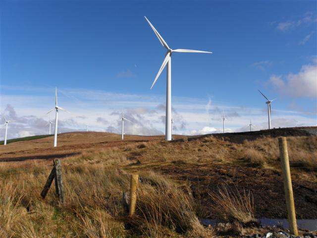 Three TopsMountain / peak · 4.8 mi
 Stackarnagh Abbey GraveyardGraveyard · 4.8 mi