What is recorded here
In pasture, on E-facing slope. Circular raised area (39.5m N-S; 38m E-W) enclosed by earthen bank (int. H 3m); external fosse (max. D 3m). Break in bank to ENE, with causeway.
The above description is derived from the published 'Archaeological Inventory of County Cork. Volume 1: West Cork' (Dublin: Stationery Office, 1992). In certain instances the entries have been revised and updated in the light of recent research.
Date of upload/revision: 14 January 2009
Ralahid, Lowertown is a circular earthen ringfort, likely dating to the early medieval period, characterized by a raised central area, enclosing bank, and external ditch. Local tradition associates such sites with fairy lore, and the name "Ralahid" may reflect a historical or legendary figure connected to the fort.
The monument record does not grant public access. Check the route and ask the landowner before entering private land.
- What survives
- Recorded monument
Places near here
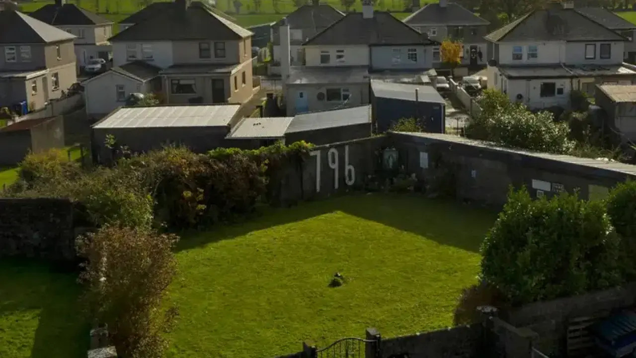 Childrens Burial GroundBurial ground · 298 yd
 Lowertown Househouse · 393 yd
 Signal Tower 32signal tower · 955 yd
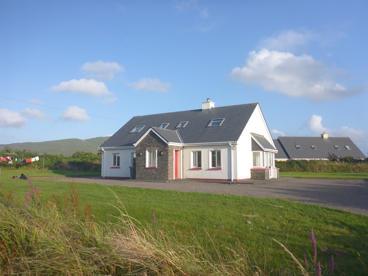 Enclosure in LissacahaEnclosure · 1484 yd
 Coney IslandIslet · 1.5 mi
 Sailor's HillViewpoint · 2.0 mi
 AltarViewpoint · 2.1 mi
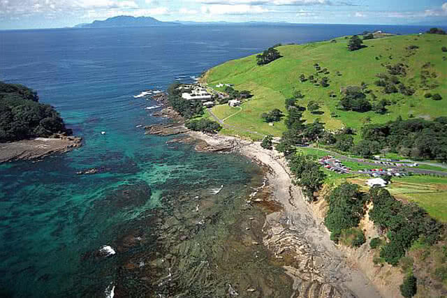 Goat IslandIslet · 2.1 mi
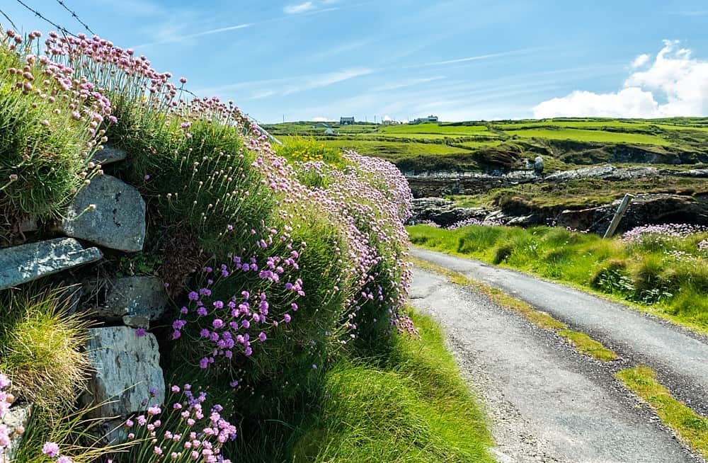 Castle (in Ruins)Castle, tower house · 2.2 mi
 Schull HarbourBay · 2.6 mi
 Cadogan's StrandHeritage attraction · 2.7 mi
 Coosheen PointHeadland · 2.9 mi