What is recorded here
Mud, memory and human hands built the raised rath in Lisnisk, while a separate underground passage cut through the earth beside it. The official record preserves both parts without inventing a story about what happened inside. That much is known: people shaped the land, made a boundary or platform, and dug or covered a way through the ground. What they kept from others, or concealed from themselves, the site no longer explains.
The official Northern Ireland record identifies this as RAISED RATH & Man-made underground passage. Recorded period: E.CHRIST.. The official map point was placed at the centre of the recorded archaeological site from the source map reference.
The monument record does not grant public access. Check the route and ask the landowner before entering private land.
- What survives
- Recorded monument
Places near here
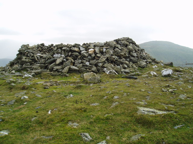 LARGE ENCLOSURE in DrumbestLARGE ENCLOSURE · 1161 yd
 Ballylough Big HillMountain / peak · 1667 yd
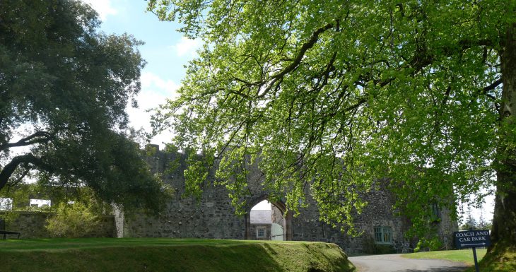 Lisanoure CastleCastle · 1.3 mi
 possible MOTTE SITE; MULTIPERIOD CASTLE SITE: LISANOURE CASTLE or LOUGH GUILE CASTLE or LOUGH KEOULLE in Castlequarterpossible MOTTE SITE; MULTIPERIOD CASTLE SITE: LISANOURE CASTLE or LOUGH GUILE CASTLE or LOUGH KEOULLE · 1.4 mi
 ENCLOSURE; Man-made underground passage (O.S. memoir site; unlocated) in LegacurryENCLOSURE; Man-made underground passage (O.S. memoir site; unlocated) · 1.6 mi
 Long MountainMountain / peak · 4.4 mi
 Causeway Coast and Glens Heritage TrustVisitor information · 5.5 mi
 The Dark HedgesViewpoint · 5.6 mi
 Trinity ChurchChurch · 5.7 mi
 Slieveanorra ForestForest · 5.7 mi
 Gracehill HouseHouse · 5.8 mi
 PRE-NORMAN CHURCH & ROUND TOWER; MEDIEVAL PARISH CHURCH; POST-MEDIEVAL CHURCH & GRAVEYARD: ARMOY CHURCH & ROUND TOWER in GlebePRE-NORMAN CHURCH & ROUND TOWER; MEDIEVAL PARISH CHURCH; POST-MEDIEVAL CHURCH & GRAVEYARD: ARMOY CHURCH & ROUND TOWER · 6.0 mi