What is recorded here
Hachured is a levelled fairy fort in County Limerick, preserved only as an oval shadow and broken ditch on an east-facing slope. It faces south and west, where the land opens for miles, suggesting its makers valued watchfulness or display rather than concealment. Two mature trees still hold the raised eastern edge, marking the place where human hands shaped the hill before pasture and time softened the work.
In pasture, on an E-facing slope with excellent views NW-S. Monument has been levelled but is still evident as oval area (c. 21m N-S; 18m E-W) defined by remains of fosse (Wth 5.95m; Dth 0.6m) S-NW and levelled scarp NW-S largely indistinct from hill-slope. Monument is cut into upslope to W and raised on E-side to compensate for hill-slope. Two mature trees grow on scarp at E.
Compiled by: Denis Power
Date of upload: 1 November 2013
The monument record does not grant public access. Check the route and ask the landowner before entering private land.
- What survives
- Recorded monument
Places near here
 Enclosure in Knockroe (clanwilliam By.)Enclosure · 254 yd
 Caherconlish Ho.Castle, tower house · 720 yd
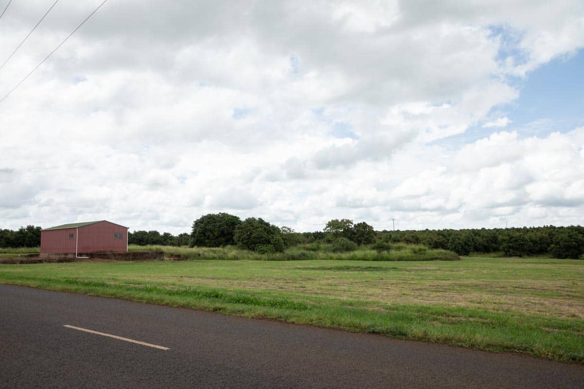 Enclosure in Knockroe (wilson)Enclosure · 904 yd
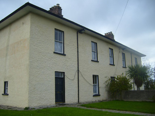 BrookvilleRIC barracks · 1215 yd
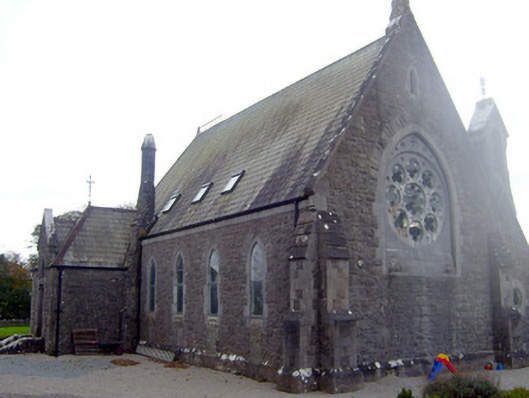 The Old Churchchurch/chapel · 1279 yd
 Caherconlish Castle (site of), HachuredCastle, ringwork · 1367 yd
 St Lawrence's WellSpring · 1709 yd
 Wych ElmWych Elm · 1.6 mi
 Graveyard in AbingtonGraveyard · 4.2 mi
 KnockseefinMountain / peak · 5.3 mi
 St. Patrick's WellSpring · 5.3 mi
 Grange Stone CircleArchaeological place · 5.4 mi