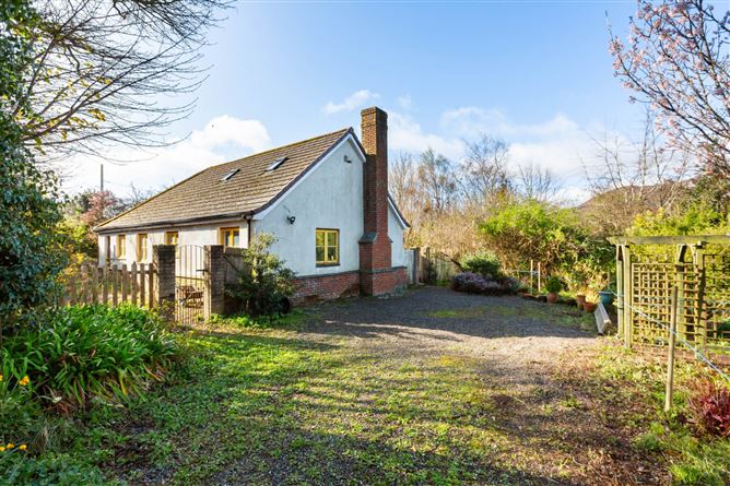
What is recorded here
Situated on a gentle S-facing slope. Circular area (diam. c. 40m) defined at the E by an earth and stone bank (Wth c. 3m), preserved in the field boundary. The bank has drystone facing which does not appear to be original. The remainder of the perimeter is marked by a differential growth pattern but is clearly demarcated in aerial photographs (GSIAP, S 206-7). There is a steep scarp along the southern edge of the site. No indication of an entrance or external fosse.
The above description is derived from the published 'Archaeological Inventory of County Wicklow' (Dublin: Stationery Office, 1997). In certain instances the entries have been revised and updated in the light of recent research.
Date of upload/revision: 17 December 2008
A local fairy fort (ringfort/rath); wider significance not recorded.
The monument record does not grant public access. Check the route and ask the landowner before entering private land.
- What survives
- Recorded monument
Places near here
 Enclosure in Ballinclea (talbotstown Upper By.)Enclosure · 86 yd
 Enclosure in BallyreaskEnclosure · 1013 yd
 SugarloafMountain / peak · 1664 yd
 Seskin Ho. in ruinsHouse, fortified house · 1.0 mi
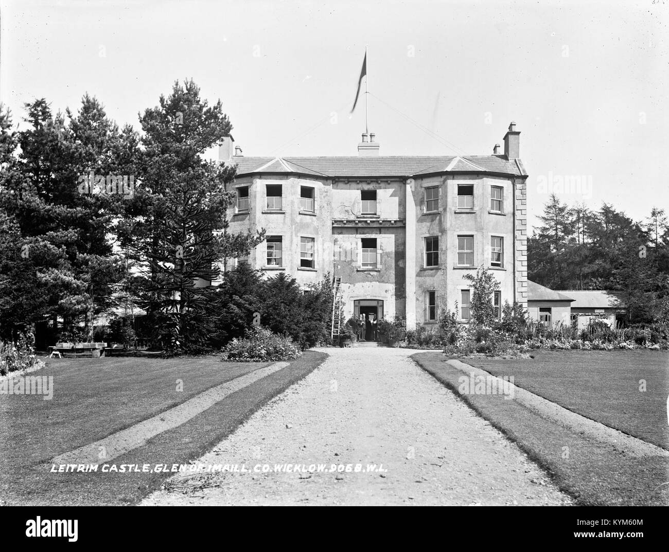 Leitrim BarracksRuins · 1.1 mi
 Artillery MemorialMemorial · 1.2 mi
 Michael Dwyer MemorialMemorial · 1.2 mi
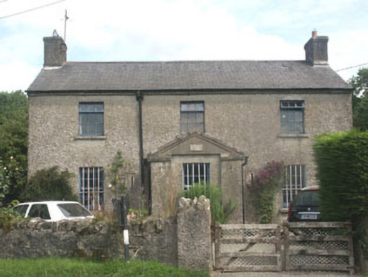 The Old BarracksRIC barracks · 1.2 mi
 LobawnMountain / peak · 1.9 mi
 Pedunculate OakPedunculate Oak · 2.5 mi
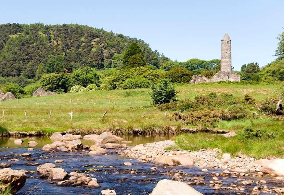 Ball MoatCastle, motte · 2.5 mi
 Dwyer McAllister CottageMuseum · 2.5 mi
Other information
Photo: Credit not shown in the picture search · Rights wording not checked; contact us if this picture should be removed