
What is recorded here
One chamber is a living chamber because it is still named and remembered; the other is a buried chamber because it has stopped answering. Raheennagower is the second kind now, a small fort beneath Garraun that has gone dark instead of disappearing. To build there is not to destroy memory but to stop repeating it. There are more than seven chambers, and the difference between them is whether they can still be known.
On a W-facing slope overlooking Galway Bay, now within a modern housing estate. Marked on the 1838 edition of the OS 6-inch map as a roughly circular enclosure (diam. c. 35m) named 'Raheennagower'. Holt (1911-12, 228) recorded that 'not even its plan is now traceable.' No visible surface trace survives.
Compiled by: Galway Archaeological Survey, UCG
Date of upload: 25 July 2019
Raheennagower, Garraun Lower is a likely early-medieval ringfort, situated on a west-facing slope overlooking Galway Bay. It is associated with local folklore referring to "fairy forts," reflecting the site's traditional Irish cultural significance.
The monument record does not grant public access. Check the route and ask the landowner before entering private land.
- What survives
- Recorded monument
Places near here
 RaheenFairy fort / earthen ringfort · 652 yd
 RalpeecaFairy fort / earthen ringfort · 675 yd
 CastleCastle, unclassified · 867 yd
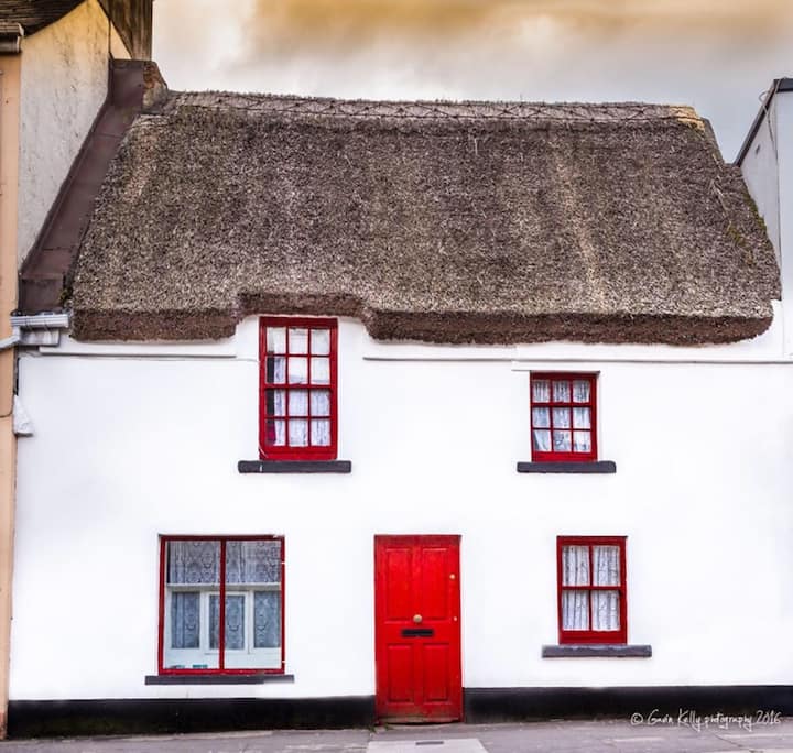 Stafort HouseRuins · 1073 yd
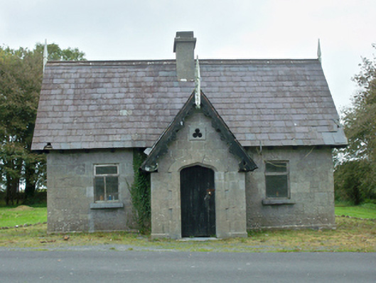 Rinville Parkgate lodge · 1384 yd
 South WoodWood · 1.2 mi
 Plumbtree FortArchaeological place · 1.2 mi
 Castle (in Ruins)Castle, tower house · 1.4 mi
 Leadmine HillMountain / peak · 1.9 mi
 Goose IslandIslet · 2.5 mi
 Mweenish IslandIslet · 2.6 mi
 Ardfry PointHeadland · 2.6 mi
Other information
Photo: Credit not shown in the picture search · Rights wording not checked; contact us if this picture should be removed