What is recorded here
A small, low, approximately circular mound (max. diam. 13.3m; H. 0.5m) at end of low ridge. It is enclosed by a low granite wall with traces of a fosse. There are a number of granite gravestones, two of which have dates, the earlier being 1791. No visible trace of any structure.
Date of upload: 8 September 2016
A small Bronze Age cairn; possibly a cist burial site. Its significance lies in the presence of dated granite gravestones, indicating a continuity of use into the historic period.
This remains an important historical record, but the official description says the monument is no longer visible or has been destroyed. The monument record does not grant public access. Check the route and ask the landowner before entering private land.
- What survives
- No visible remains or recorded as destroyed
Places near here
 St. Marys Church (Site of)Church · 361 yd
 Enclosure in DeerparkEnclosure · 940 yd
 European YewEuropean Yew · 1269 yd
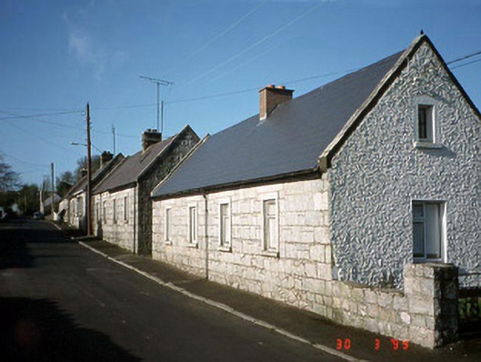 worker's houseworker's house · 1336 yd
 Cork oakCork oak · 1716 yd
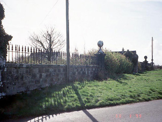 Burton Halldemesne walls/gates/railings · 1.1 mi
 Gorteen MoundCastle, unclassified · 1.2 mi
 Duckett's GroveHeritage attraction · 1.7 mi
 OutlinedCastle, unclassified · 2.0 mi
 Brownshill Portal TombVisitor information · 2.6 mi
 ProclamationMemorial · 2.7 mi
 Lorcán Ó TuathailMemorial · 4.5 mi