What is recorded here
On the peninsula of Rindown, c. 160m outside the town wall (RO046-004004-). Possibly an early ecclesiastical site, although there is no evidence of a church (RO046-004036-). D-shaped graveyard (dims 59m NE-SW; 44m E-W) defined by stone walls. A fragment of a cross-slab (RO046-004024-) was recovered from the graveyard and there are fragments (RO046-004025-) of a cusped ogee-headed window at the location. The church of the crutched friars (RO046-004005-) is immediately to the SW, and the walled garden (RO046-004026-) is immediately to the NW. The two bronze bells (Bourke 1980) and the bronze crucifixion plaque from St John's, now in NMI, may be from this location (Harbison 1984).
Compiled by: Michael Moore
Date of upload: 24 August 2010
Early medieval Christian graveyard, likely 7th to 10th century. Its location and shape suggest a small monastic or parish burial site, reflecting early Irish ecclesiastical settlement patterns.
The monument record does not grant public access. Check the route and ask the landowner before entering private land.
- What survives
- Recorded monument
Places near here
 Church (in Ruins)Religious house, Fratres Cruciferi · 87 yd
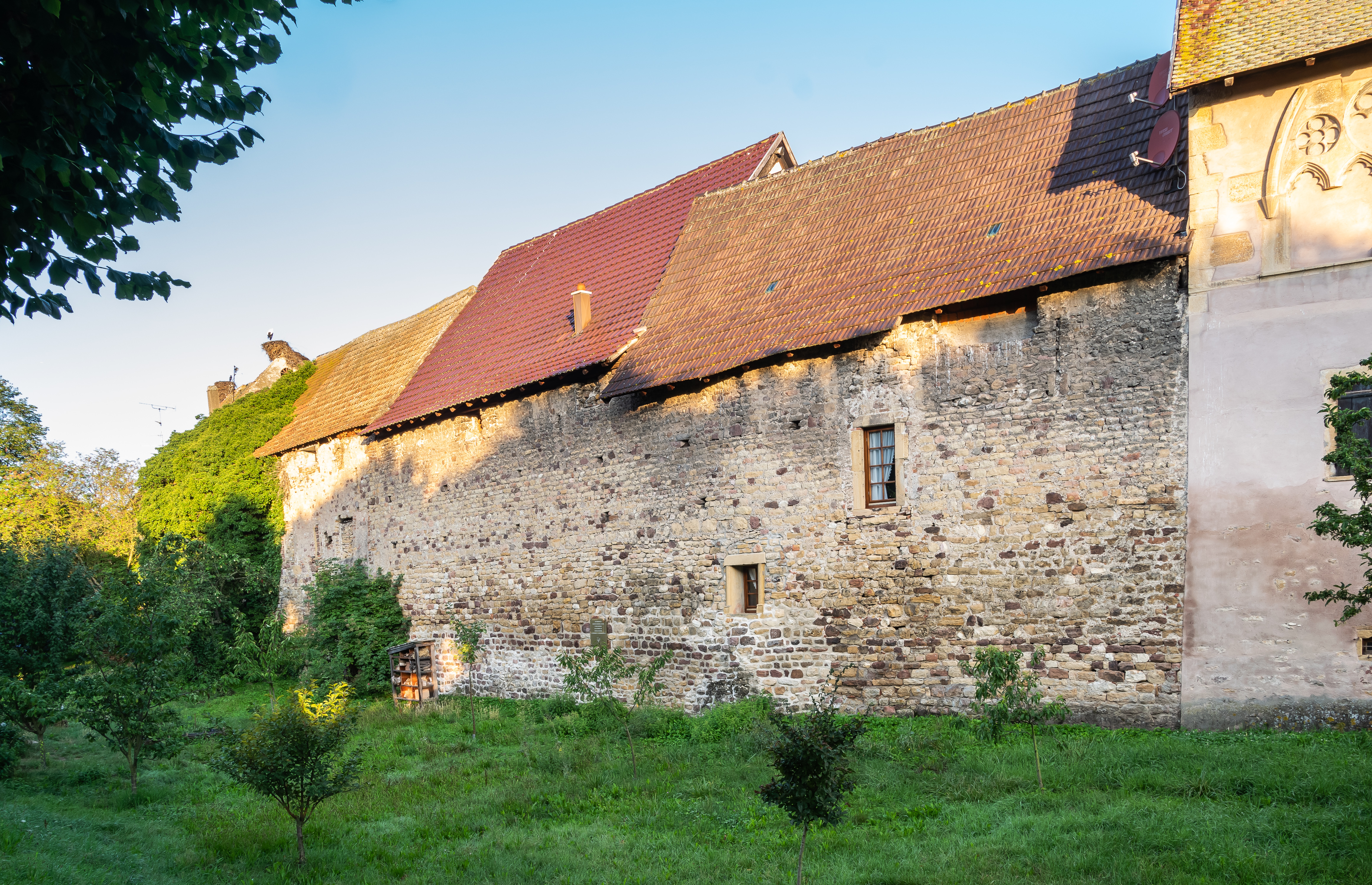 Fortified WallTown defences · 216 yd
 Historic town in Warren,rinnaganHistoric town · 628 yd
 R. C. ChapelChurch · 952 yd
 Safe HarbourBay · 956 yd
 Rindown CastleCastle, Anglo-Norman masonry castle · 992 yd
 Carrownure BayBay · 1188 yd
 RindoonWood · 1403 yd
 St. John's WoodWood · 1659 yd
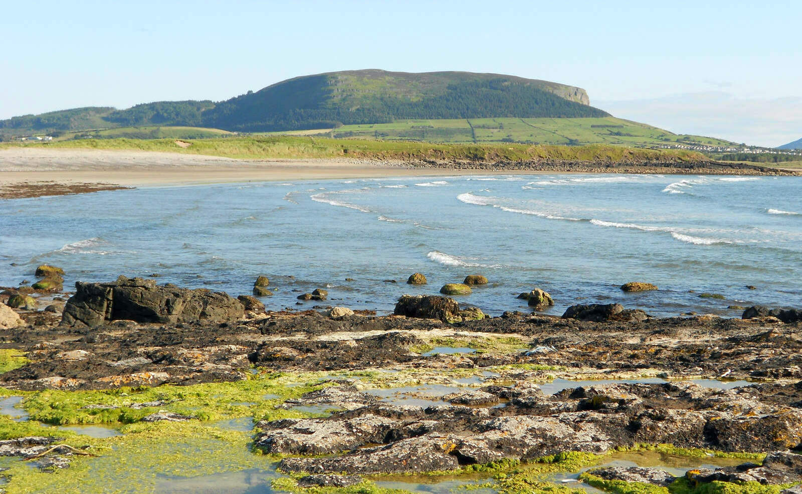 Brearoge IslandsIslet · 1.4 mi
 Horse IslandIslet · 1.4 mi
 Culnagore WoodForest · 2.7 mi