What is recorded here
Located in the village of Kill. The original RC church of Kill is depicted as a cruciform structure. Only the porch (ext. dims. 7.25m N-S; 5.25m E-W) that would have been at the E end of the building survives in the graveyard. A doorway in the N wall led into the porch, and two doorways in the W wall led from the porch to the body of the church. There is a bellfry over the E wall of the porch.
Compiled by: Michael Moore.
Date of upload: 20th May, 2011.
The monument record does not grant public access. Check the route and ask the landowner before entering private land.
- What survives
- Recorded monument
Places near here
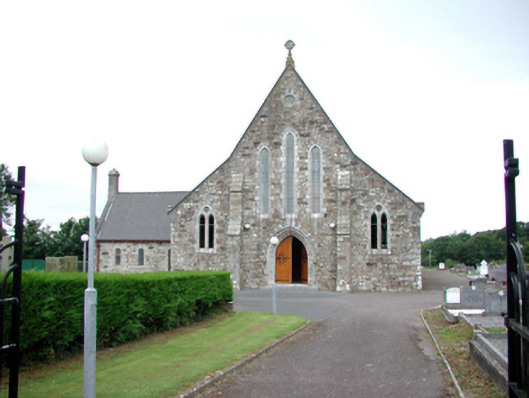 Catholic Church of Our Lady of Mount CarmelOfficially recorded historic building · 82 yd
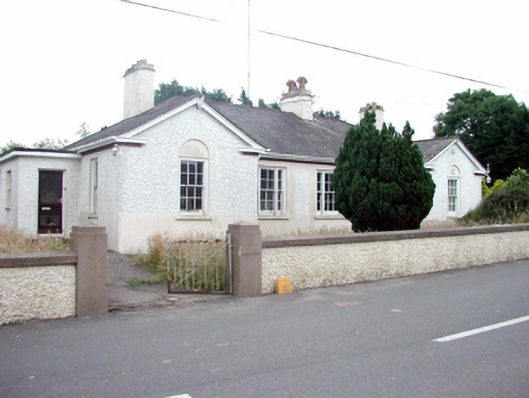 Kill Garda Síochána StationOfficially recorded historic building · 239 yd
 Burnt mound in KilbarrymeadenBurnt mound · 619 yd
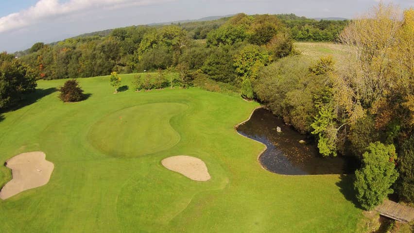 Field system in KilbarrymeadenField system · 1530 yd
 St. Bernard's WellSpring · 1660 yd
 St. Martin's WellSpring · 1.3 mi
 Tankardstown 19th Century Copper Mining GeoparkHeritage attraction · 2.5 mi
 Copper CoastCoastal geological landscape · 2.6 mi
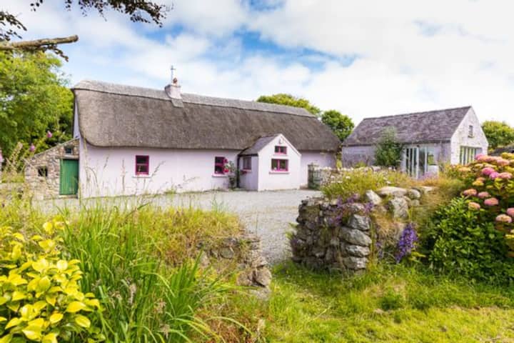 Kilmurrin CoveBeach / strand · 2.6 mi
 Mandevilles RockCastle, unclassified · 2.6 mi
 Geological GardenVisitor information · 2.7 mi
 Miners BucketVisitor information · 2.7 mi