What is recorded here
Depicted as a rectangular building (dims c. 15m E-W; c. 5m N-S) and described in italic lettering as 'R. C. Chapel' on the 1836 ed. of the OS 6-inch map and described as 'R. C. Chapel (in Ruins)' on the OS 25-inch plan (surveyed 1908). It was one of two churches in the post-penal Catholic union of Nobber, and was described as a plain building (Lewis 1837, 1, 439). It is situated on a shelf on a NE-facing slope c. 5-10m S of a minor E-W road. The church (int. dims 13.4m E-W; 4.9m N-S) is reduced to the grass-covered foundations of walls (Wth 0.5m; H 0.2-0.5m) in a small plot with some mature coniferous trees. Archaeological testing (06E0245) by B. Halpin immediately to the E produced no related material (excavatioins.ie 2006:1542).
Compiled by: Michael Moore
Date of upload: 28 January, 2016
Amended: 29 January 2021
The monument record does not grant public access. Check the route and ask the landowner before entering private land.
- What survives
- Recorded monument
Places near here
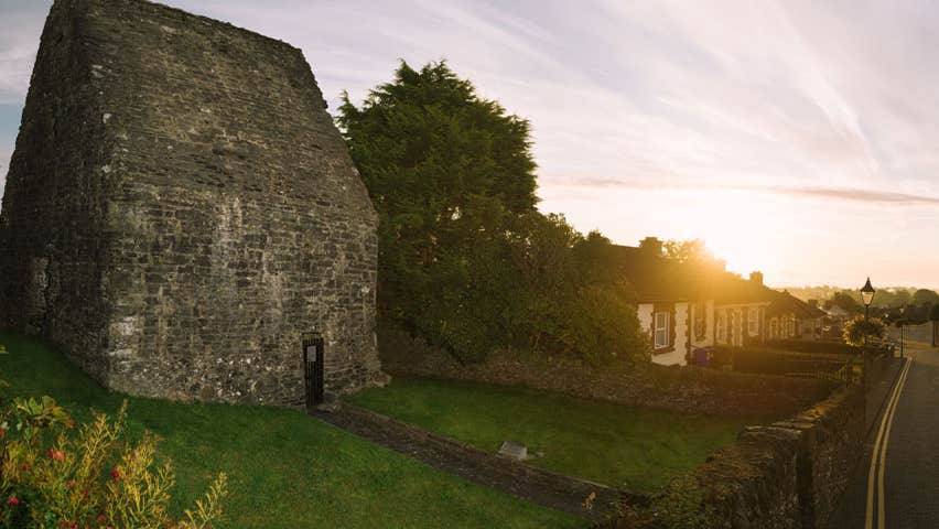 MoatCastle, motte and bailey · 926 yd
 CrossCross, Churchyard cross · 1016 yd
 Durrans FortFairy fort / earthen ringfort · 1086 yd
 Cherburg WoodForest · 1358 yd
 Common LimeCommon Lime · 1671 yd
 Church in Robertstown (kells Lower By.)Church · 1.1 mi
 Bawn in Robertstown (kells Lower By.)Bawn · 1.2 mi
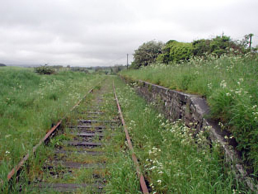 Nobber Railway Stationplatform · 1.5 mi
 Nobber GreenwayMemorial · 1.6 mi
 Gallows HillMountain / peak · 1.7 mi
 Owenroe and Moynalty DrainageMemorial · 1.9 mi
 HeadstownMountain / peak · 2.1 mi