
What is recorded here
Dressed ashlar granite quays, constructed c.1810, having cut granite coping, recent steel railing, cast-iron mooring hooks, granite quay steps and attached cast-iron ladders. Situated to south of river.
The area south of the river and east of the city was slob land in the early years of the eighteenth century, until Dublin Corporation began to infill and create what became City Quay. The granite quay walls were built by the Ballast Board as part of the continuous quay along the south side of the river at the beginning of the nineteenth century. This quay served as a landing stage for goods, most notably Guinness, bringing produce to the port for export. It continues to serve a practical function in supporting the raised riverside, and is notable as a physical reminder of the civil engineering heritage of Dublin city. Its execution in ashlar granite attests to the high level of skill and artisanship employed in its construction, and it forms a significant part of Dublin’s historic urban fabric.
This does not grant access. Most recorded buildings are privately owned; view them only from public ground unless the owner allows entry.
Places near here
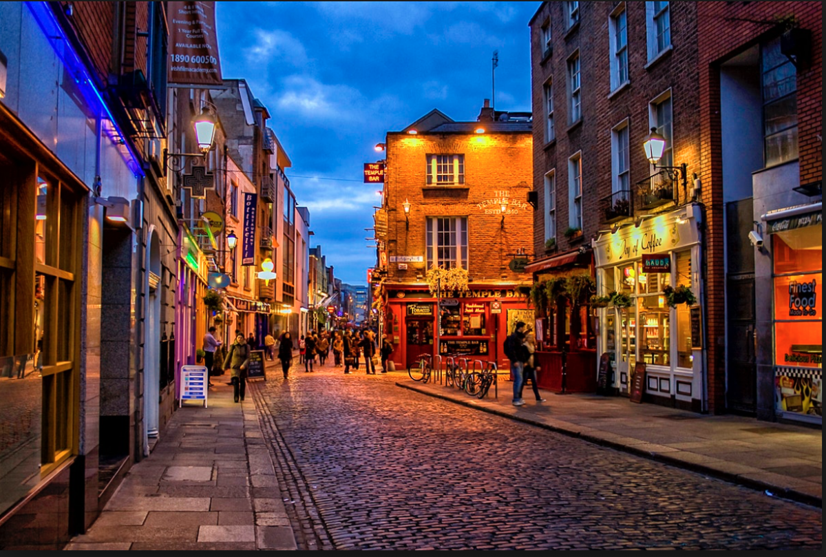 Quay in Unknown TownlandQuay · 17 yd
 Elizabeth O'Farrell ParkMemorial · 79 yd
 17 October UN International Day for the Eradication of PovertyMonument · 117 yd
 George's Dock Bridgebridge · 127 yd
 Famine MemorialMemorial · 144 yd
 'Famine'monument · 144 yd
 EPIC The Irish Emigration MuseumMuseum · 160 yd
 Jeanie JohnstonMuseum · 170 yd
 1GQVisitor information · 233 yd
 Burning of the Custom Housearmed conflict · 350 yd
 Bigleaf MapleBigleaf Maple · 550 yd
 Oriental planeOriental plane · 553 yd
Other information
Photo: Gareth James · CC BY-SA 2.0