What is recorded here
On the SE shore of Muckross Lake. A disused partially collapsed pier (Wth c. 9m; L c. 32m; H c. 0.8m; long axis NW-SE) with facing of large water rolled stones and core of smaller stones and gravel.
Compiled by: Elizabeth Byrne, Ursula Egan and Sheila Ronan, Archaeological Survey Unit, University College, Cork.
Date of upload: 31 January 2011
The monument record does not grant public access. Check the route and ask the landowner before entering private land.
- What survives
- Recorded monument
Places near here
 Muckross Lake WalkWalking route · 508 yd
 Torc New Br.Bridge · 593 yd
 Torc WaterfallWaterfall · 799 yd
 Torc MountainMountain / peak · 992 yd
 Devil's IslandIslet · 1006 yd
 McRose BeachBeach / strand · 1165 yd
 Monterey CypressMonterey Cypress · 1223 yd
 Common AlderCommon Alder · 1269 yd
 Sylvan WorldMonument · 1484 yd
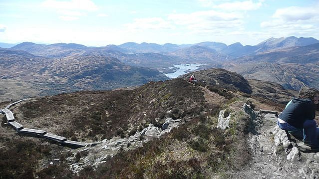 Torc Mountain W TopMountain / peak · 1506 yd
 Muckross HouseCountry house · 1747 yd
 A.W.B. (Billy) Vincent MemorialMemorial · 1.1 mi