
What is recorded here
The quay at Kings Inn in the Thirteenth century comprised a slip and courtyard bounded by the riverbank (De Courcy 1996, 200). Speeds map (1610) shows this general arrangement. (Clarke 2002, 27).
The monument record does not grant public access. Check the route and ask the landowner before entering private land.
- What survives
- Recorded monument
Places near here
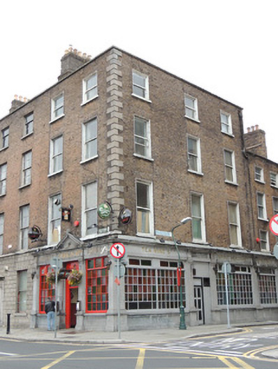 O'Reilly Bros.house · 16 yd
 O'Donovan Rossa Bridgebridge · 47 yd
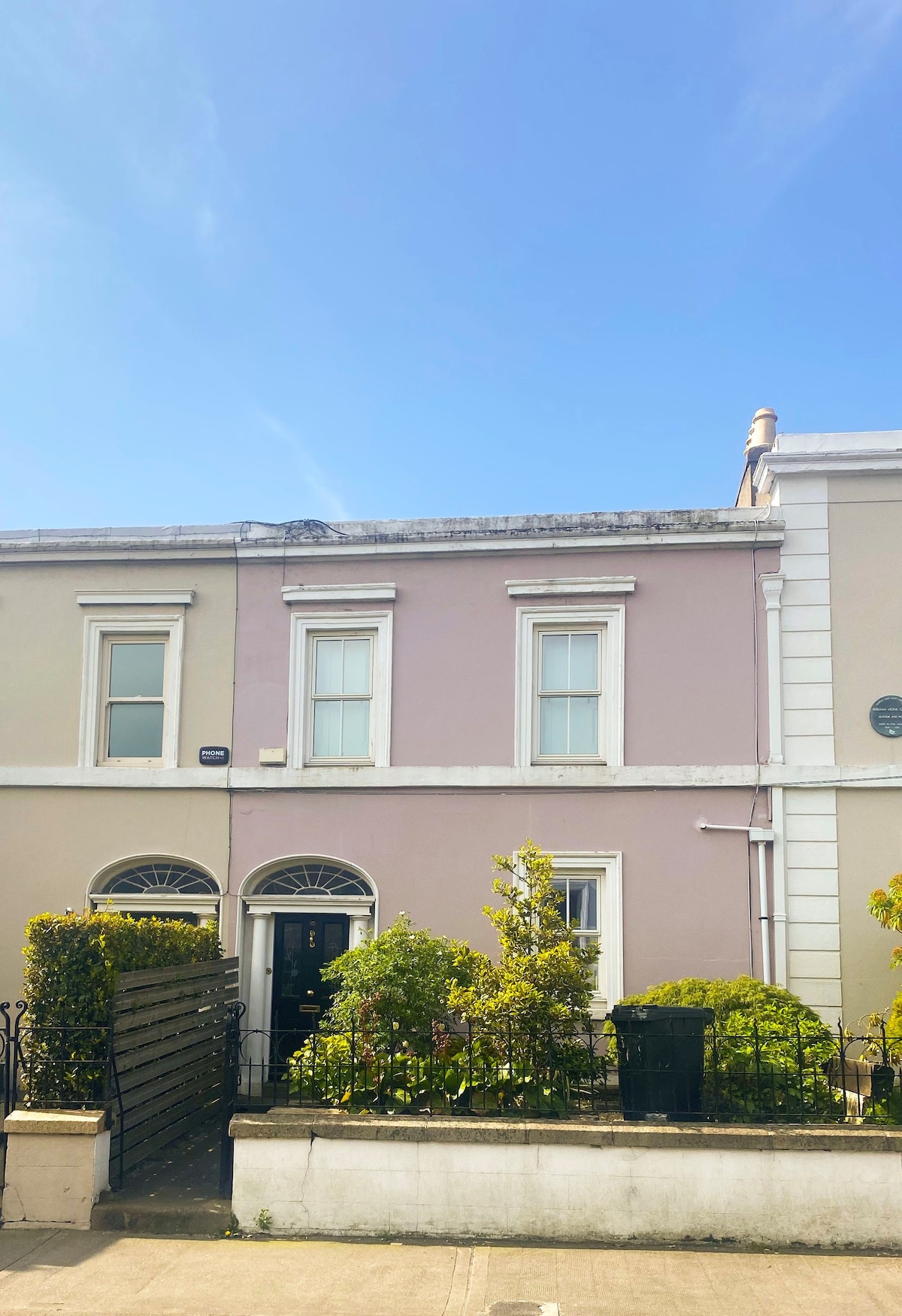 Ecclesiastical residence in Unknown TownlandEcclesiastical residence · 205 yd
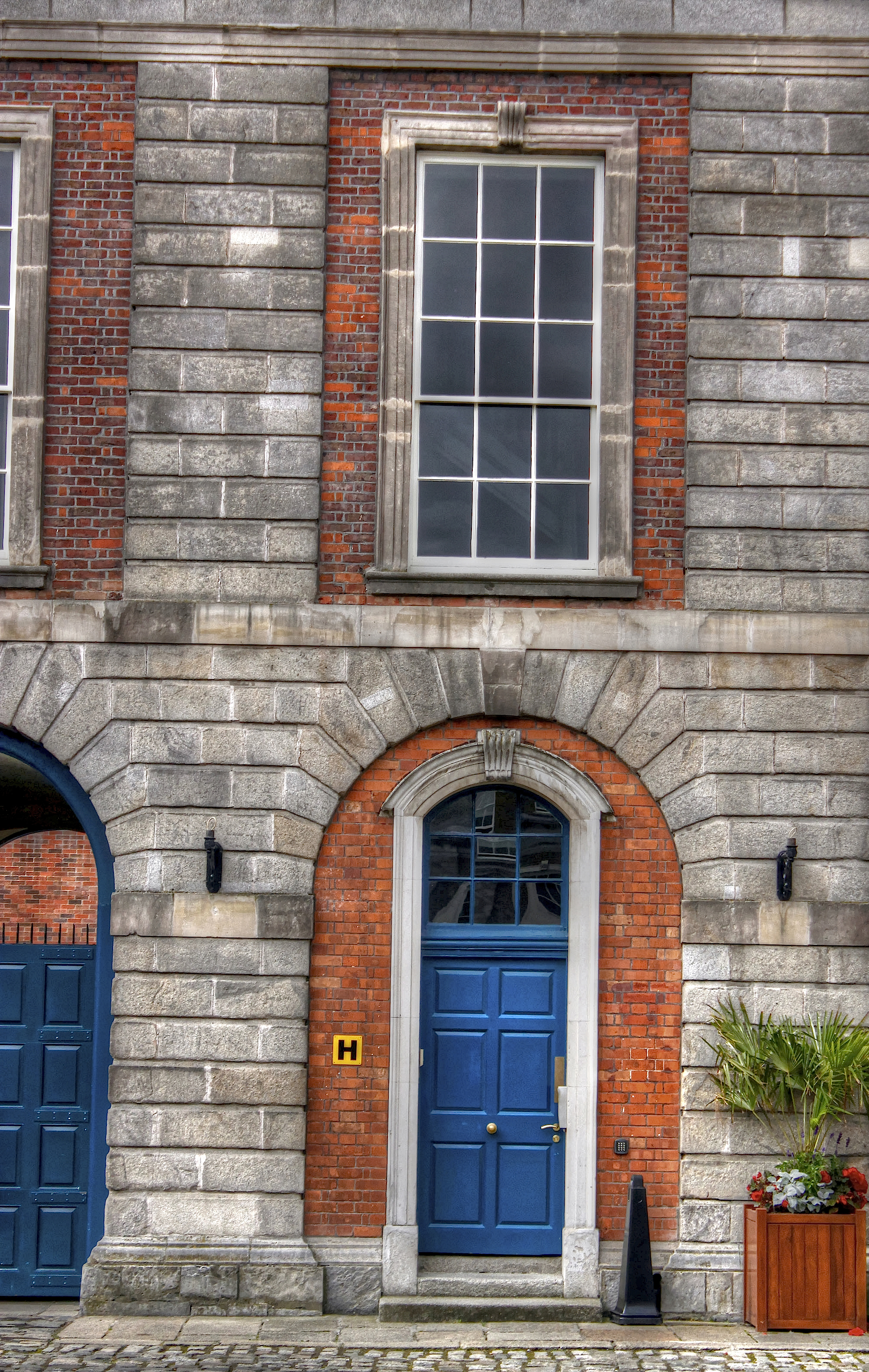 Courthouse in Unknown TownlandCourthouse · 247 yd
 Saint Audoen's GateHeritage attraction · 258 yd
 Medieval City Wall and St. Audeon's ArchHeritage attraction · 278 yd
 Gairdín Súgartha i gCuimhne ar na Páistí a Cailleadh in 1916Memorial · 339 yd
 John FieldMemorial · 359 yd
 Medieval DublinVisitor information · 387 yd
 CastleCastle, Anglo-Norman masonry castle · 424 yd
 London PlaneLondon Plane · 798 yd
 European PearEuropean Pear · 908 yd
Other information
Photo: Credit not shown in the picture search · Rights wording not checked; contact us if this picture should be removed