What is recorded here
In undulating pastureland. A hachured feature marked on the 1933 edition of the OS 6-inch map proved on inspection in 1983 to be a disused gravel pit. As it is of post-AD 1700 date it does not come within the remit of the Archaeological Survey of Ireland.
Compiled by: Olive Alcock
Date of upload: 22 July 2014
The monument record does not grant public access. Check the route and ask the landowner before entering private land.
- What survives
- Recorded monument
Places near here
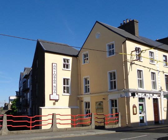 Tobar PadraigHoly well · 1082 yd
 Cross in Baunmore (athenry By.)Cross · 1136 yd
 St. Bridgets Church (in Ruins)Church · 1.2 mi
 Wall monument in AthenryWall monument · 1.3 mi
 Athenry AbbeyHeritage attraction · 1.3 mi
 Athenry CastleHeritage attraction · 1.3 mi
 Castle or King Johns Court (in ruins)Castle, Anglo-Norman masonry castle · 1.3 mi
 Horse-chestnutHorse-chestnut · 1.6 miFirst Battle of Athenrybattle · 1.9 mi
 Moyard WoodWood · 1.9 mi
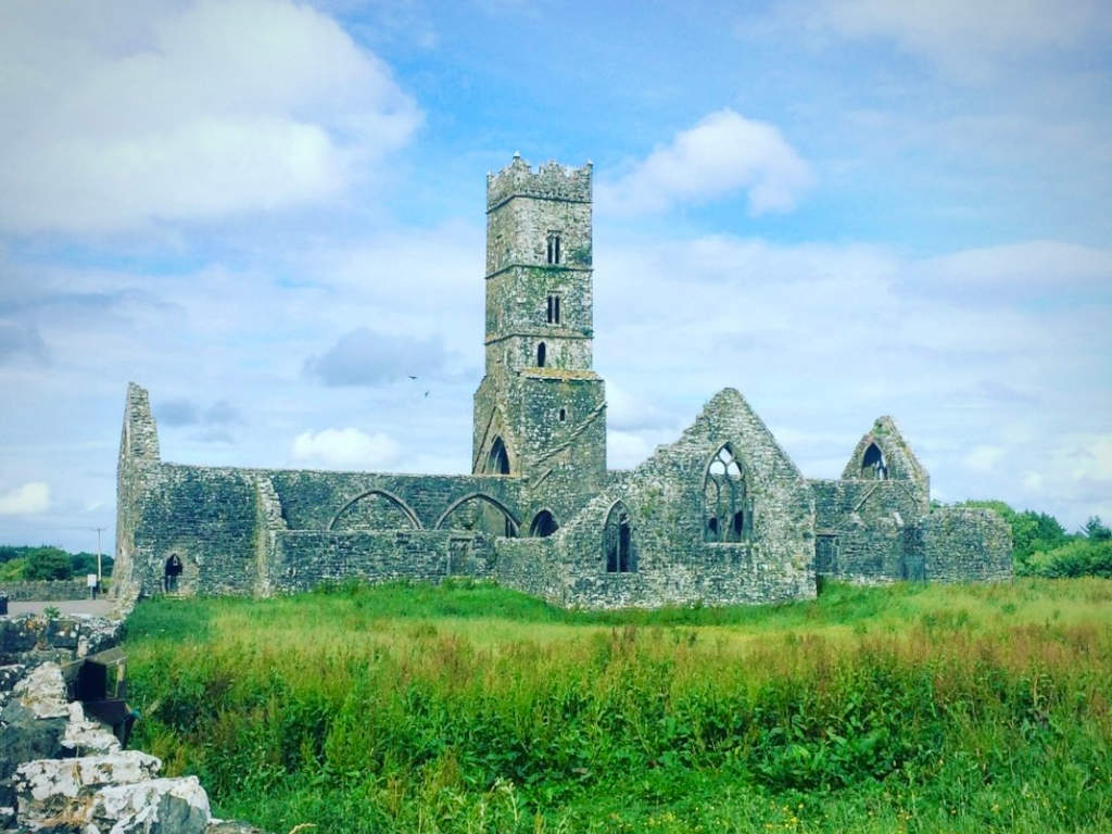 Cloonbrusk Castle (in ruins)Castle, unclassified · 2.3 mi
 Barrack IslandIslet · 8.8 mi