What is recorded here
In arable land. Only a flattened area overgrown with thistles survived of a hachured feature marked on the 1933 edition of the OS 6-inch map on inspection in 1983. Cartographic evidence suggests that it was a quarry pit. As it is of post-AD 1700 date it does not come within the remit of the Archaeological Survey of Ireland.
Compiled by: Olive Alcock
Date of upload: 22 July 2014
The monument record does not grant public access. Check the route and ask the landowner before entering private land.
- What survives
- Recorded monument
Places near here
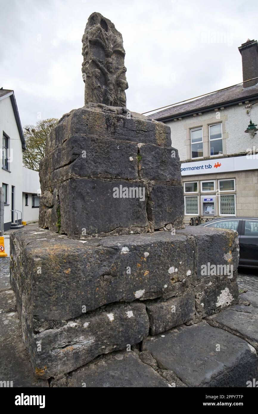 Cross (Site of)Cross · 434 yd
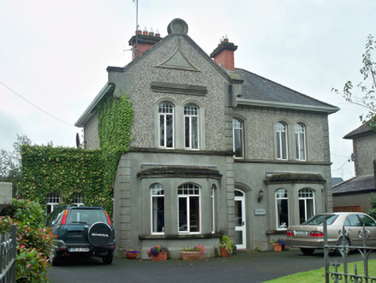 Fiesolehouse · 593 yd
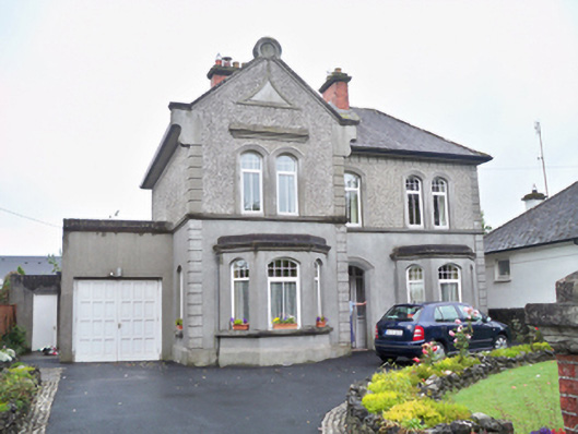 Saint Bernard'shouse · 596 yd
 IndicatedEnclosure · 923 yd
 Athenry AbbeyHeritage attraction · 1211 yd
 Athenry CastleHeritage attraction · 1379 yd
 Castle or King Johns Court (in ruins)Castle, Anglo-Norman masonry castle · 1388 yd
 Horse-chestnutHorse-chestnut · 1530 ydFirst Battle of Athenrybattle · 1.4 mi
 Castle (in Ruins)Castle, unclassified · 1.8 mi
 Moyard WoodWood · 2.7 mi
 Leadmine HillMountain / peak · 9.7 mi