What is recorded here
Not listed in the SMR (1992) or the RMP (1996). Included on the OS Discovery map (no. 57; 1:50,000) as an enclosure. This is named on the OS 25-inch map (1895) as ‘Gravel pit (disused)’ and is indicated as a pit on the 1922 OS 6-inch map. On inspection in 2002 it was found to be a subcircular rush-covered quarry (diam. 18-20m; max. D 2m at W).
Compiled by: Mary Tunney
Date of upload: 9 December 2014
The monument record does not grant public access. Check the route and ask the landowner before entering private land.
- What survives
- Recorded monument
Places near here
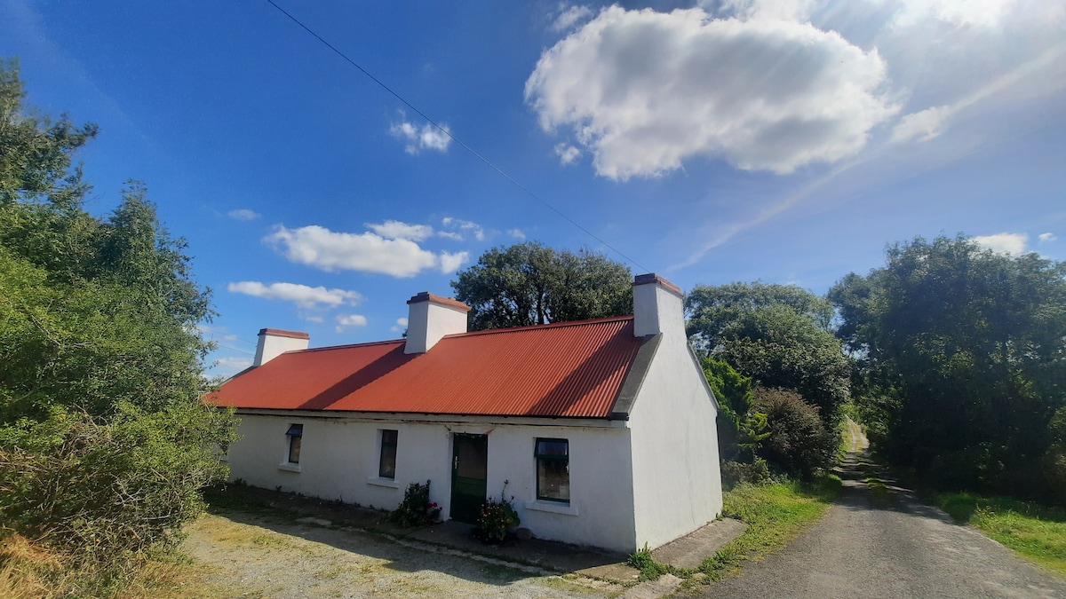 Enclosure in Knocknahila More NorthEnclosure · 649 yd
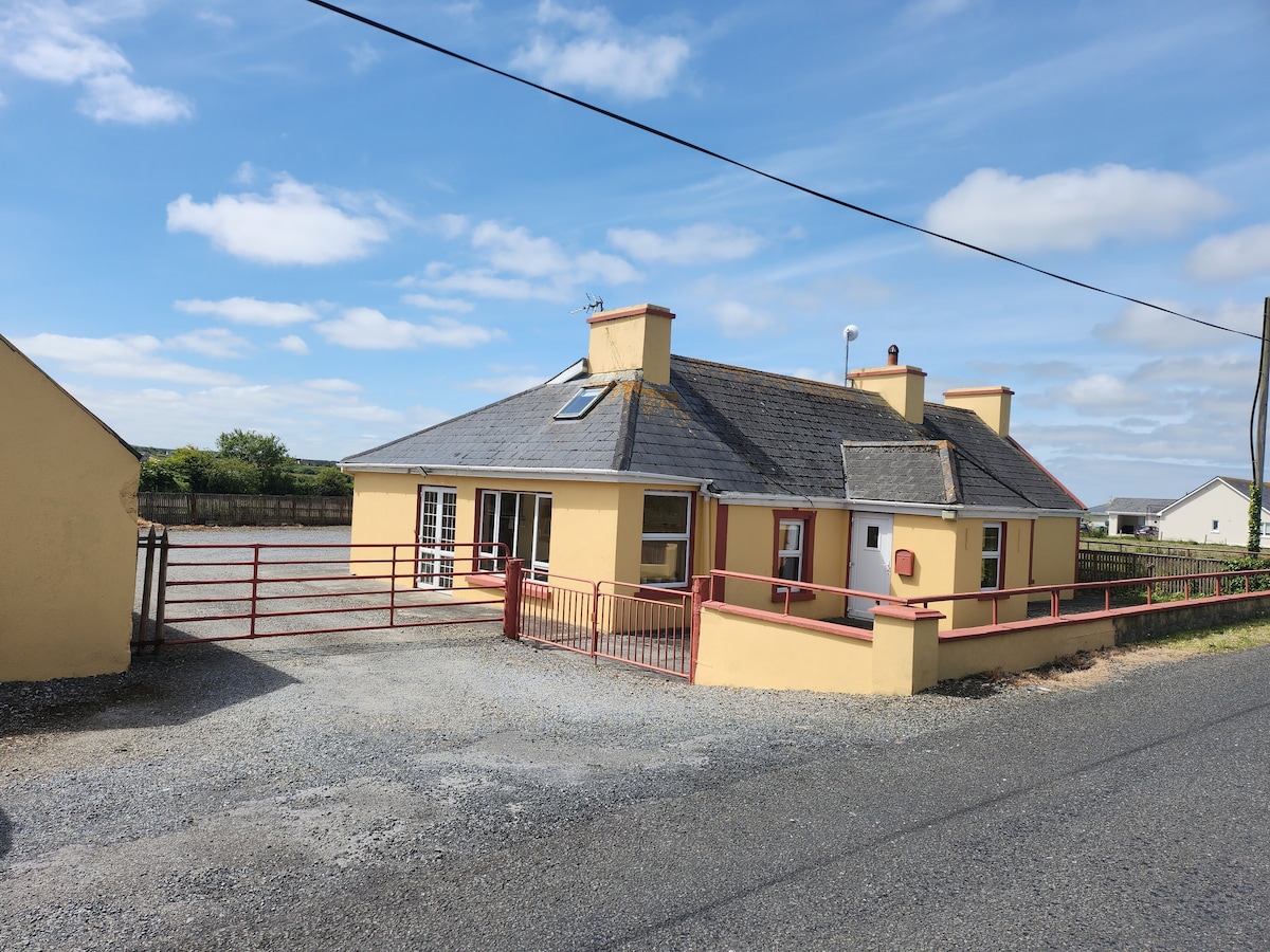 LissnahoansheeFairy fort / earthen ringfort · 1.1 mi
 Finnor Castle (Site of)Castle, unclassified · 1.2 mi
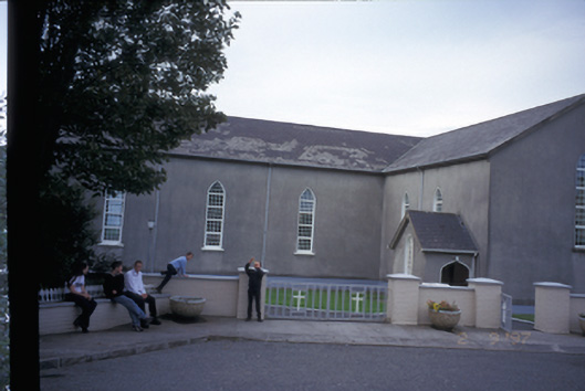 Saint Mary's Roman Catholic Churchchurch/chapel · 1.4 mi
 Doonogan Castle (Site of)Castle, tower house · 2.6 mi
 Kilmurry Church (in ruins)Church · 2.6 mi
 Emlagh PointHeadland · 3.7 mi
 Seafield North BeachBeach / strand · 3.9 mi
 Spanish Point BeachBeach / strand · 4.2 mi
 Lurga PointHeadland · 4.2 mi
 Doughmore BeachBeach / strand · 4.3 mi
 Spanish PointHeadland · 5.1 mi