
What is recorded here
Listed as a 'potential site - cartographic' in the SMR (1988) and as a 'quarry' in the RMP (1998). The evidence is not sufficient to warrant accepting this as the location of an archaeological monument.
Compiled by: Matt Kelleher
Date of upload: 12 September 2014
The monument record does not grant public access. Check the route and ask the landowner before entering private land.
- What survives
- Recorded monument
Places near here
 Leitrim Castle (in Ruins)Castle, Anglo-Norman masonry castle · 884 yd
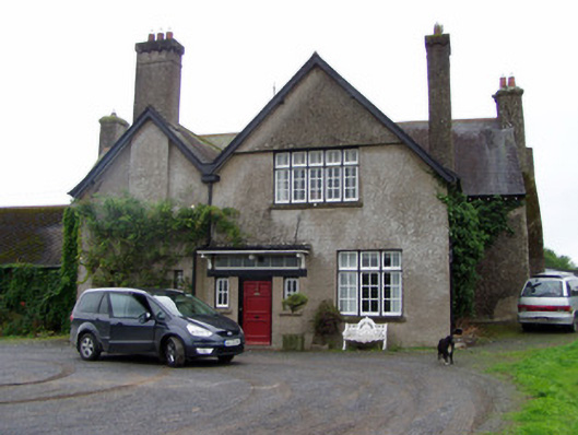 Leitrim Househouse · 990 yd
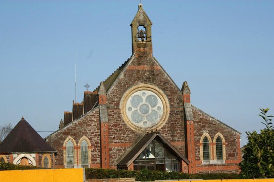 Leitrim Church (in Ruins)Church · 1114 yd
 Macroney CastleCastle, tower house · 1.1 mi
 Cliff-edge fort in BallyderownCliff-edge fort · 1.3 mi
 Grave YardGraveyard · 1.3 mi
 Glansheskin WoodVisitor information · 2.4 mi
 Glansheskin Forest Recreation AreaVisitor information · 2.4 mi
 Kilworth WoodWood · 2.4 mi
 Strawhall WoodForest · 3.9 mi
 Kent BridgeMemorial · 4.0 mi
 Graveyard in FermoyGraveyard · 4.1 mi
Other information
Photo: Credit not shown in the picture search · Rights wording not checked; contact us if this picture should be removed