What is recorded here
Partially within a deep cutting to the immediate rear of a modern dwelling and partially in an improved pasture field to E, which has an E-facing slope. An irregular, oblong quarry (51m NE-SW; 18.5m NW-SE) is depicted at this location on the 25-inch OS map. A D-shaped feature abuts the quarry to E and is named ‘Lime Kiln (Disused). Similar features are shown on the 1921 edition of the OS 6-inch map, although these are unnamed confirming that it had been abandoned, as per earlier map edition. Not visible at ground level. The limekiln has been removed and the quarry has either been backfilled or forms part of the deep cutting for the dwelling. In either case, this is considered to be a non-archaeological feature.
Compiled by: Mary Tunney, Alison McQueen and Vera Rahilly
Date of upload: 10 April 2018
This remains an important historical record, but the official description says the monument is no longer visible or has been destroyed. The monument record does not grant public access. Check the route and ask the landowner before entering private land.
- What survives
- No visible remains or recorded as destroyed
Places near here
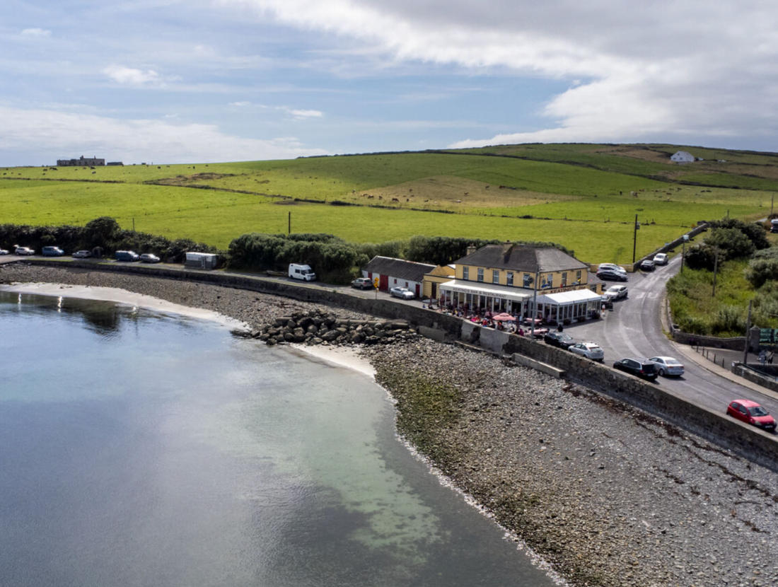 Cloonloughaun FortFairy fort / earthen ringfort · 1116 yd
 Derrymore Househouse · 1554 yd
 Enclosure in Lisduff (tulla Upper By.)Enclosure · 1582 yd
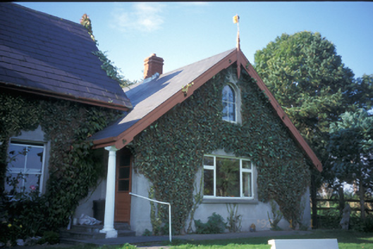 Spa Househouse · 1.3 mi
 Lissofin Castle (in ruins)Castle, unclassified · 2.0 mi
 Tulla Castle (Site of)Castle, unclassified · 2.1 mi
 The StablesGallery · 2.3 mi
 Cloghleagh RockNamed rock · 2.6 mi
 CraggaunowenNationally known place · 3.3 mi
 Deerpark WoodForest · 3.7 mi
 Calluragh WoodForest · 4.2 mi
 Mass RockMemorial · 4.5 mi