What is recorded here
Listed as ‘Enclosure’ in the SMR (1992) and the RMP (1996). A small quarried area is hachured on the 1922 ed. of the OS 6-inch map and is hachured and named ‘Gravel pit (disused)’ on the OS 25-inch map. On inspection in 2002 it was found to be a disused quarry (34m N-S; 40 E-W; max. D 2.2m) cut into the W face of a ridge.
Compiled by: Mary Tunney
Date of upload: 16 December 2014
The monument record does not grant public access. Check the route and ask the landowner before entering private land.
- What survives
- Recorded monument
Places near here
 IndicatedEnclosure · 721 yd
 St Margarets WellHoly well · 1.3 mi
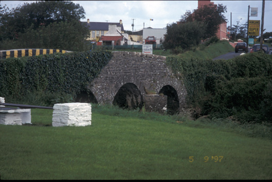 Creegh Bridgebridge · 1.5 mi
 Saint Mary's Catholic Churchchurch/chapel · 1.6 mi
 Doughmore BeachBeach / strand · 2.8 mi
 Doonbeg Castle (in Ruins)Castle, tower house · 3.0 mi
 Doonbeg BayBay · 3.5 mi
 Doonmore CastleRuins · 3.7 mi
 White StrandBeach / strand · 4.3 mi
 Lurga PointHeadland · 5.9 mi
 The Museum of Irish Rural LifeMuseum · 6.1 mi
 St. Senan's WellSpring · 6.2 mi