What is recorded here
On a knoll in mixed woodland. Listed as ‘Enclosure’ in the SMR (1992) and the RMP (1996). Indicated only on the 1916 OS 6-inch map as a small hachured area. On inspection in 2002 this was found to be a quarry (14.5m N-S; 11.7m E-W at base; D 1.2m) with a bank (Wth 2.8m) at S only, resulting from upcast from an inner trench extending from SE to SW.
Compiled by: Mary Tunney
Date of upload: 7 October 2014
The monument record does not grant public access. Check the route and ask the landowner before entering private land.
- What survives
- Recorded monument
Places near here
 CastleCastle, unclassified · 210 yd
 Tobernaneeve (Site of)Holy well · 1.0 mi
 Cregg Bridgebridge · 1.0 mi
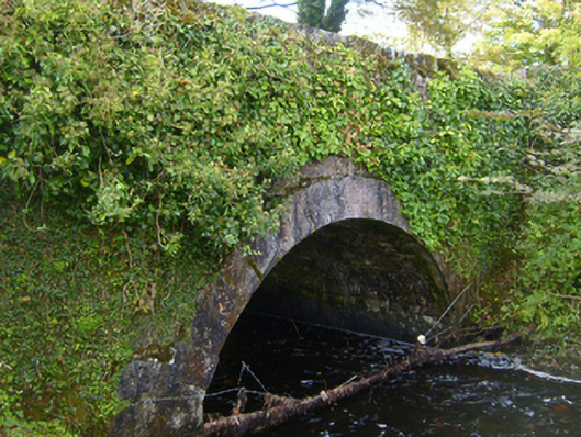 bridgebridge · 1.1 mi
 Tobernahaulue Holy WellHoly well · 1.6 mi
 Ardamullivan Castle (in ruins)Castle, tower house · 2.1 mi
 Swan IslandIsland · 3.5 mi
 Mulkere MemorialMemorial · 3.8 mi
 Apple IslandWood · 3.9 mi
 Keaghery IslandWood · 4.3 mi
 MagheraMountain / peak · 4.5 mi
 Castle IslandIsland · 4.7 mi