What is recorded here
Marked as an oval feature (dims c. 20m E-W; c. 10m N-S) only on the 1929 ed. of the OS 6-inch map, and situated in a copse at the E end of a low NW-SE ridge. This is an oval quarry (dims c. 15m E-W; c. 6-8m N-S; D 2-3m). Archaeological testing (10E0151) just to the W produced no archaeological material, other than evidence of a 19th century access route (Henry 2010e; 2013).
Compiled by: Michael Moore
Date of upload: 8 February 2012
The monument record does not grant public access. Check the route and ask the landowner before entering private land.
- What survives
- Recorded monument
Places near here
 Silver IslandIslet · 558 yd
 Workhouse MemorialMemorial · 613 yd
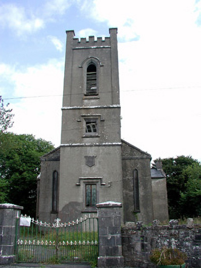 Trinity Church (Kilkeevin)church/chapel · 722 yd
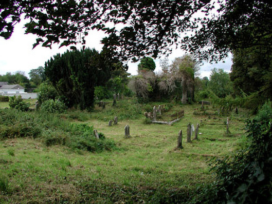 graveyard/cemeterygraveyard/cemetery · 794 yd
 Castlereagh HouseCastle, unclassified · 1160 yd
 Farn GreenFairy fort / earthen ringfort · 1339 yd
 CrossCross · 1449 yd
 Clonalis HouseMuseum · 2.0 mi
 Coolougher WoodForest · 3.5 mi
 CastleCastle, Anglo-Norman masonry castle · 3.8 mi
 Druminagh WoodForest · 5.1 mi
 Rook HillMountain / peak · 7.7 mi