
What is recorded here
In reclaimed pasture, immediately W of bowl-barrow (LI048-034010-), ringfort (LI048-034008-) lies 27m to NE and two bowl-barrows (LI048-034011/012-) 20m to S. Excavation of the bowl-barrows (LI048-034010/12-) by Ó Ríordáin (1940, 133-140) between 1934-5, recorded the following; ‘West of T [umulus] I [LI048-034010-] is marked on the Ordnance Map a hollow which we investigated with a negative result. It may have been dug to provide material for the building of some of the tumuli where that available from the fosse was not sufficient for the purpose’ (Ó Ríordáin 1940, 133). Slight shallow depression to W of bowl-barrow (LI048-034010-) visible on Google Earth orthoimages.
See attached plan from Ó Ríordáin and Google Earth orthoimages.
Compiled by: Fiona Rooney
Date of upload: 30 August 2021
The monument record does not grant public access. Check the route and ask the landowner before entering private land.
- What survives
- Recorded monument
Places near here
 Man-made underground passage in CushMan-made underground passage · 165 yd
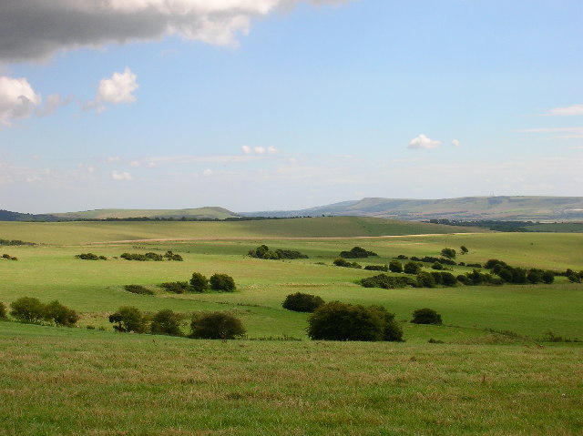 Field system in CushField system · 176 yd
 Bosnetstown Villahouse · 1119 yd
 Ballinvreena LoopVisitor information · 1164 yd
 High Bridgebridge · 1.2 mi
 Palatine's RockNamed rock · 1.7 mi
 SlievereaghMountain / peak · 1.7 mi
 Castle (in ruins)Castle, tower house · 1.8 mi
 Ballyhoura tourist informationVisitor information · 1.9 mi
 Ballyhoura WayWalking route · 1.9 mi
 Treada Na Ríogh (The Moat), hachuredCastle, motte · 2.0 mi
 Edmund's WellSpring · 2.2 mi
Other information
Photo: Credit not shown in the picture search · Rights wording not checked; contact us if this picture should be removed