
What is recorded here
Listed as a 'levelled circular enclosure' in the SMR (1988) and as a 'quarry' in the RMP (1998). Depicted as a hachured semi-circular depression adjoining roadside on the 1st ed. OS 6-inch map (1842). According to the landowner, earth from the area of a ringfort (CO015-07402-) was dumped in to fill this hollow in the field. This is most likely the site of an old quarry.
Compiled by: Matt Kelleher
Date of upload: 30 April 2014
The monument record does not grant public access. Check the route and ask the landowner before entering private land.
- What survives
- Recorded monument
Places near here
 IndicatedFairy fort / earthen ringfort · 159 yd
 Quarry in Coolbane (orrery and Kilmore By.)Quarry · 312 yd
 LisheencloghaghFairy fort / earthen ringfort · 420 yd
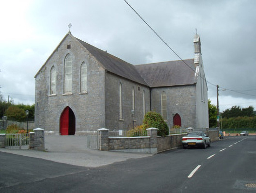 Saint Joseph's Churchchurch/chapel · 1.1 mi
 Battle of LiscarrollMajor battlefield · 1.2 mi
 Liscarroll CastleCastle · 1.2 mi
 Lady's WellSpring · 3.6 mi
 Lisgriffin CastleCastle · 3.7 mi
 Windmill HillMountain / peak · 4.1 mi
 Churchtown TrailsVisitor information · 4.1 mi
 Ballyhoura WayWalking route · 5.2 mi
 European YewEuropean Yew · 5.4 mi
Other information
Photo: Credit not shown in the picture search · Rights wording not checked; contact us if this picture should be removed