What is recorded here
Listed as ‘Earthwork’ in the SMR (1992) and the RMP (1996). A small hachured feature is visible on the 1920 ed. of the OS 6-inch map. This is hachured and named on the OS 25-inch map as ‘Gravel pit (disused)’. On inspection in 2018 this was found to be a back-filled quarry in an area with extensive outcropping rock with small depressions here and there.
Compiled by: Mary Tunney, Alison McQueen and Vera Rahilly
Date of upload: 11 December 2018
The monument record does not grant public access. Check the route and ask the landowner before entering private land.
- What survives
- Recorded monument
Places near here
 IndicatedEnclosure · 750 yd
 EnclosureEnclosure, large enclosure · 1099 yd
 St Mochullas Ch (in RuinsChurch · 1.4 mi
 Tulla Castle (Site of)Castle, unclassified · 1.4 mi
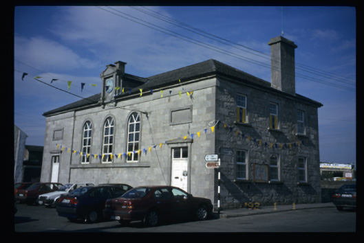 Tulla Courthousecourt house · 1.4 mi
 The StablesGallery · 1.5 mi
 Bunavory Castle (in ruins)Castle, unclassified · 1.6 mi
 Cloghleagh RockNamed rock · 4.3 mi
 Derrymore WoodWood · 4.9 mi
 DoonHeritage attraction · 6.0 mi
 Deerpark WoodForest · 6.4 mi
 Holy WellHoly well · 1.2 mi