
What is recorded here
On a dry, level area enclosed by very marshy ground with reed beds to N and E, on a small peninsula on the southern shores of Cloondoorney Lough. There are limited views of the surrounding landscape from this low lying ground which is overlooked by a hillock to SW. Depicted on the 1842 edition of the OS 6-inch map as a subcircular area (c. 18m NE-SW; c. 17.5m NW-SE) defined by a single enclosing element. On inspection in February 2018 the location was partially submerged and the surrounding area was fully submerged.
Compiled by: Mary Tunney, Alison McQueen and Vera Rahilly
Date of upload: 10 December 2018
The monument record does not grant public access. Check the route and ask the landowner before entering private land.
- What survives
- Recorded monument
Places near here
 EnclosureEnclosure, large enclosure · 920 yd
 Holy WellHoly well · 1457 yd
 Saint James's Catholic Churchchurch/chapel · 1.3 mi
 Bunavory Castle (in ruins)Castle, unclassified · 1.4 mi
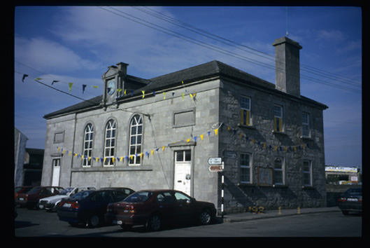 Tulla Courthousecourt house · 1.5 mi
 Tulla Castle (Site of)Castle, unclassified · 1.5 mi
 The StablesGallery · 1.6 mi
 Cloghleagh RockNamed rock · 4.3 mi
 Derrymore WoodWood · 4.5 mi
 DoonHeritage attraction · 6.4 mi
 Deerpark WoodForest · 6.7 mi
 LisfeeanFairy fort / earthen ringfort · 1558 yd
Other information
Photo: Credit not shown in the picture search · Rights wording not checked; contact us if this picture should be removed