What is recorded here
On the W slope of a hummock in pastureland. A hachured feature marked on the 1948 revision of the OS 6-inch map proved on inspection in 1983 to be a large subcircular hollow overgrown with bushes and trees. It was most likely a disused quarry that was associated with a limekiln that is shown and named on the OS 25-inch plan at the NW end of the hachured area. As it is of post-AD 1700 date it does not come within the remit of the Archaeological Survey of Ireland.
Compiled by: Olive Alcock
Date of upload: 15 August 2014
The monument record does not grant public access. Check the route and ask the landowner before entering private land.
- What survives
- Recorded monument
Places near here
 R.C. ChapelChurch · 117 yd
 Clonco Bridgebridge · 729 yd
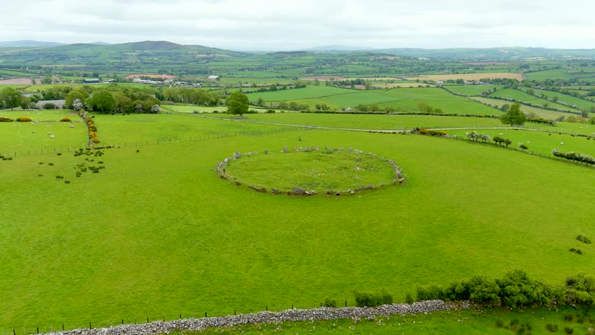 Ritual siteRitual site, holy/saint's stone · 1305 yd
 Holy WellHoly well · 1.4 mi
 Red IslandIslet · 2.8 mi
 Cregg PointHeadland · 2.8 mi
 Cloondadauv CastleCastle · 2.9 mi
 Abbey IslandIslet · 2.9 mi
 Kylenameely WoodWood · 3.1 mi
 Site of CastleCastle, unclassified · 3.2 mi
 Coose BayBay · 3.3 mi
 TullymoreMountain / peak · 4.0 mi