What is recorded here
In an area of meadow and pastureland. A series of about 30 subcircular, oval and irregularly shaped hachured depressions are marked in this townland on the 1932 edition of the OS 6-inch map. All are disused sand and gravel pits, probably of 19th/20th-century date, and most have been infilled.
Compiled by: Olive Alcock
Date of upload: 10 October 2014
The monument record does not grant public access. Check the route and ask the landowner before entering private land.
- What survives
- Recorded monument
Places near here
 Enclosure in CarrownaganniveEnclosure · 1121 yd
 Wych ElmWych Elm · 1192 yd
 Ballinlass Eviction MemorialMemorial · 1271 yd
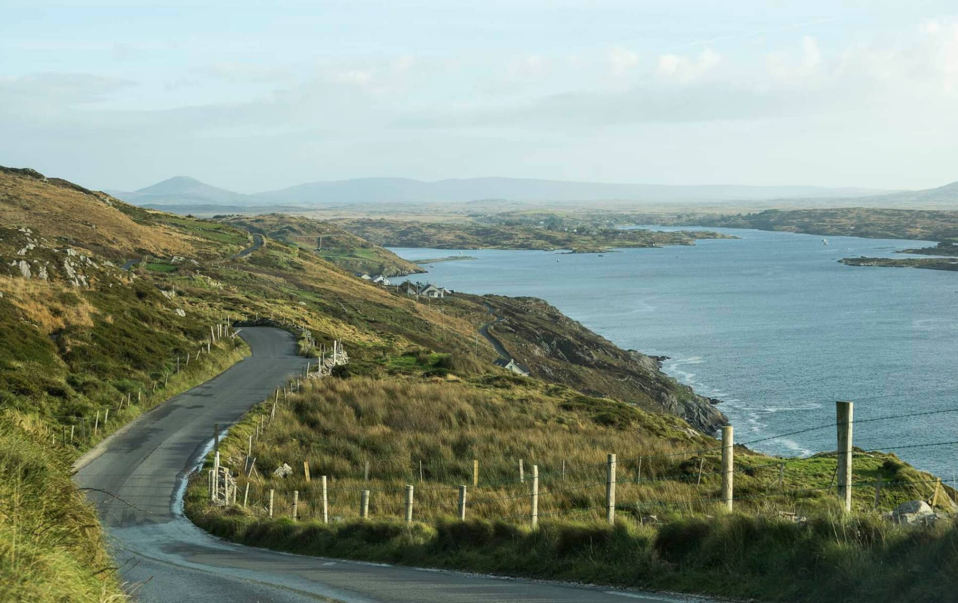 IndicatedHouse, 18th/19th century · 1478 yd
 Abbeylandshouse · 1488 yd
 St. Bridgers WellHoly well · 1.1 mi
 Cloonavihony WoodForest · 1.7 mi
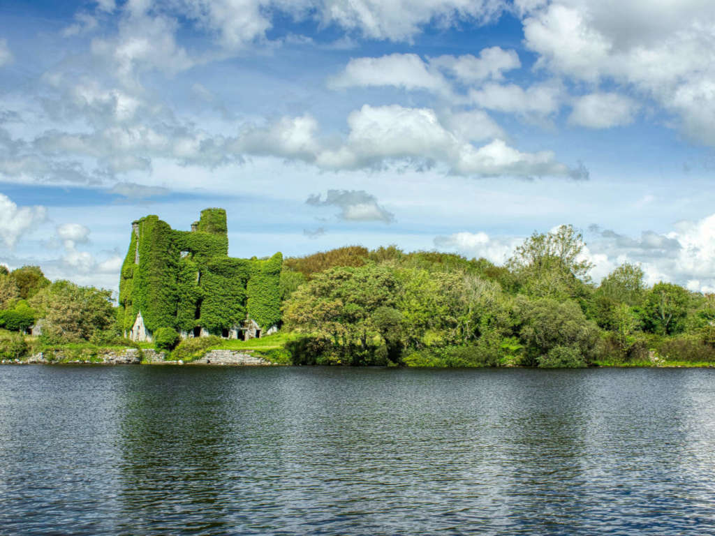 Castle BellewArchaeological place · 3.8 mi
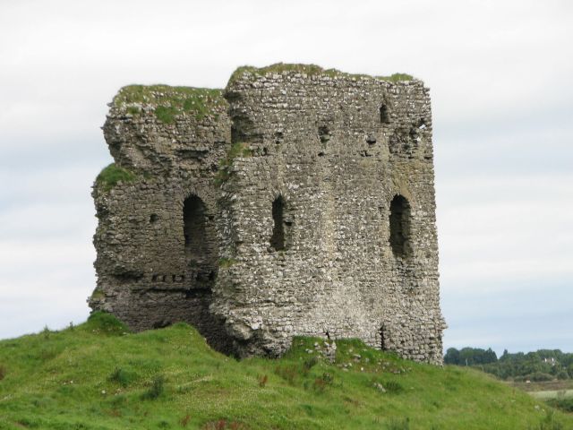 Moylough CastleCastle · 4.0 mi
 Menlough IRAMemorial · 6.1 mi
 Mount MaryMountain / peak · 6.6 mi
 Sally IslandIslet · 8.5 mi