What is recorded here
Listed as ‘Earthwork’ in the SMR (1992) and the RMP (1996). Hachured on the 1920 OS 6-inch map and indicated on the 25-inch map as a pit. On inspection in 1999 the area was found to be levelled.
Compiled by: Mary Tunney
Date of upload: 10 November 2014
The monument record does not grant public access. Check the route and ask the landowner before entering private land.
- What survives
- Recorded monument
Places near here
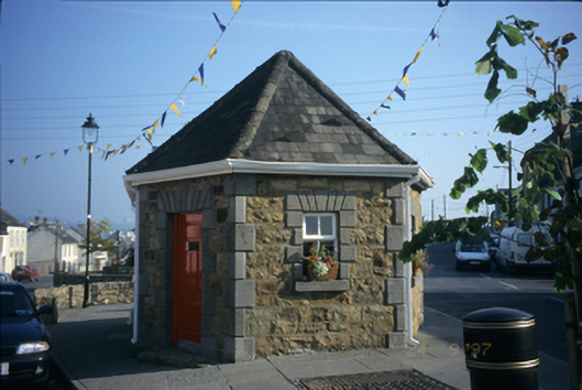 Scarriff Market Houseweighbridge/weighhouse · 1190 yd
 Catholic Church of the Sacred Heart of Jesuschurch/chapel · 1208 yd
 IndicatedCastle, tower house · 1412 yd
 Ratheen WoodsWood · 1724 yd
 Pedunculate OakPedunculate Oak · 1.1 mi
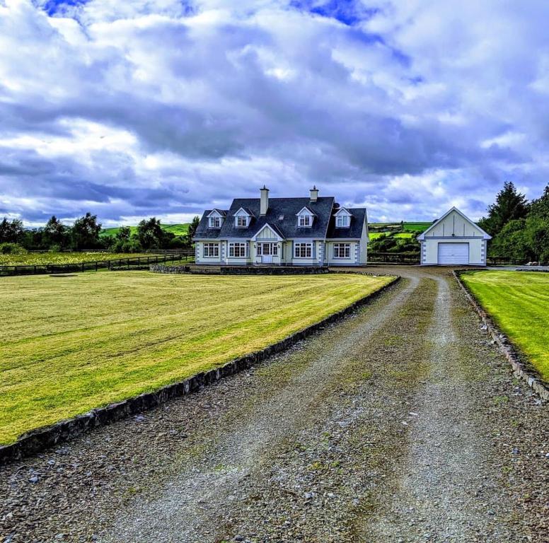 Scarriff BayBay · 1.4 mi
 Round tower in TomgraneyRound tower · 1.5 mi
 Castle BaunCastle · 1.7 mi
 Enclosure in Aughrim (tulla Upper By.)Enclosure · 1.8 mi
 Inishcaltra or Holy IslandIslet · 2.7 mi
 The MazeHeritage attraction · 3.8 mi
 Crow IslandIslet · 4.5 mi