What is recorded here
No visible surface trace survived of a hachured feature marked on the 1945-6 revision of the OS 6-inch map when inspected in 1983. A housing estate occupied the site. Cartographic evidence suggests that it was probably a pit or a quarry. As it was of post-AD 1700 date it does not come within the remit of the Archaeological Survey of Ireland.
Compiled by: Olive Alcock
Date of upload: 17 July 2014
The monument record does not grant public access. Check the route and ask the landowner before entering private land.
- What survives
- Recorded monument
Places near here
 Mass-rock in Coolagh (galway By.)Mass-rock · 401 yd
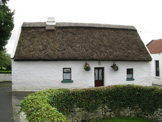 farmyard complexfarmyard complex · 653 yd
 Boilingbrook FortBastioned fort · 740 yd
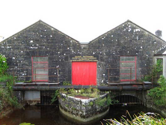 Galway Corporation Waterworkswaterworks · 875 yd
 Yew Tree MazeHeritage attraction · 943 yd
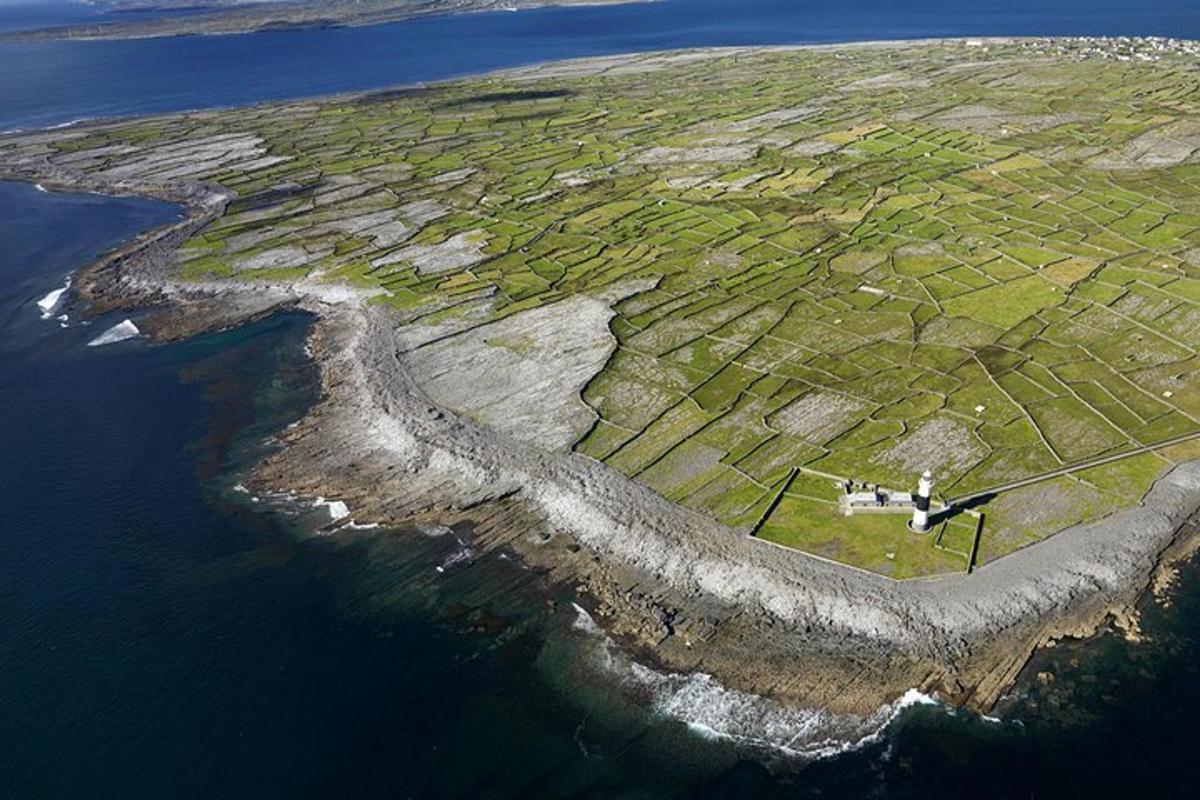 Jordan's IslandIslet · 1005 yd
 Terryland CastleCastle · 1022 yd
 Terryland Castle (in Ruins)Castle, unclassified · 1024 yd
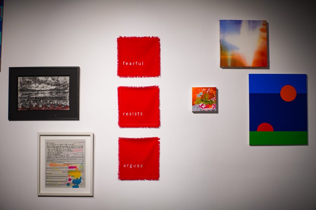 126 Artist-Run GalleryGallery · 1277 yd
 Seán DugganMemorial · 1535 yd
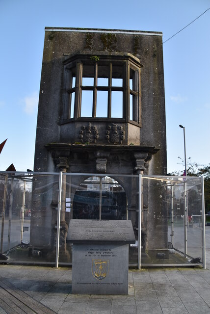 Browne DoorwayVisitor information · 1586 yd
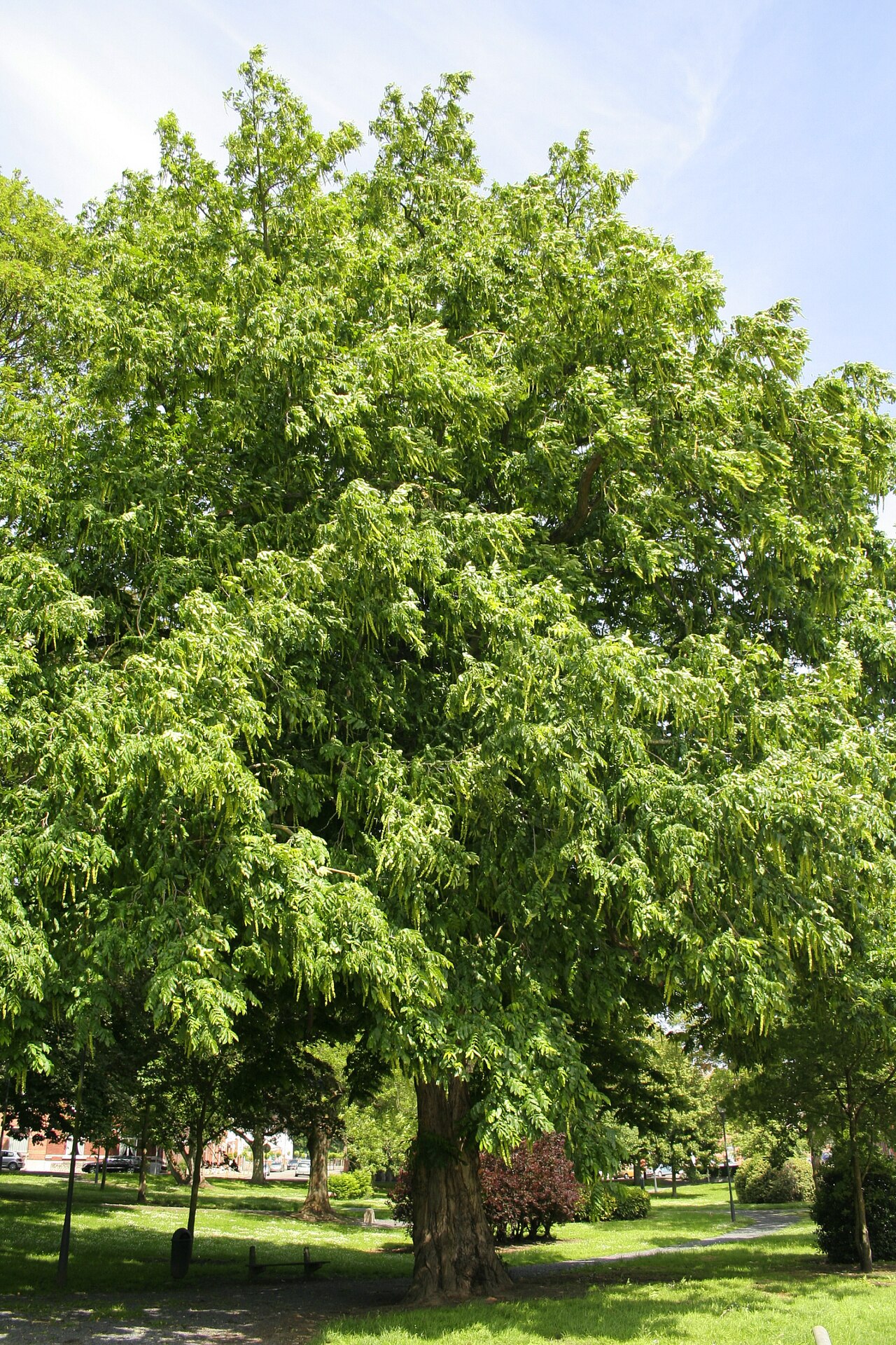 Caucasian WingnutCaucasian Wingnut · 1641 yd