What is recorded here
No visible entrance exists at the triangular promontory in County Meath, Ireland, where steep scarps and a buried earthen bank sealed the land before human memory. People may have climbed the western slope or watched from a distance, but the fort refused easy entry and kept its own counsel.
The following description is derived from the published 'Archaeological Inventory of County Meath' (Dublin: Stationery Office, 1987). In certain instances the entries have been revised and updated in the light of recent research.
Date of upload/revision: 10 July 2007
Triangular promontory defined by steep scarps with bern at its foot on N and S, and cut off from high ground to W by remains of earthen bank and external fosse. No visible entrance.
The monument record does not grant public access. Check the route and ask the landowner before entering private land.
- What survives
- Recorded monument
Places near here
 RuinChurch · 298 yd
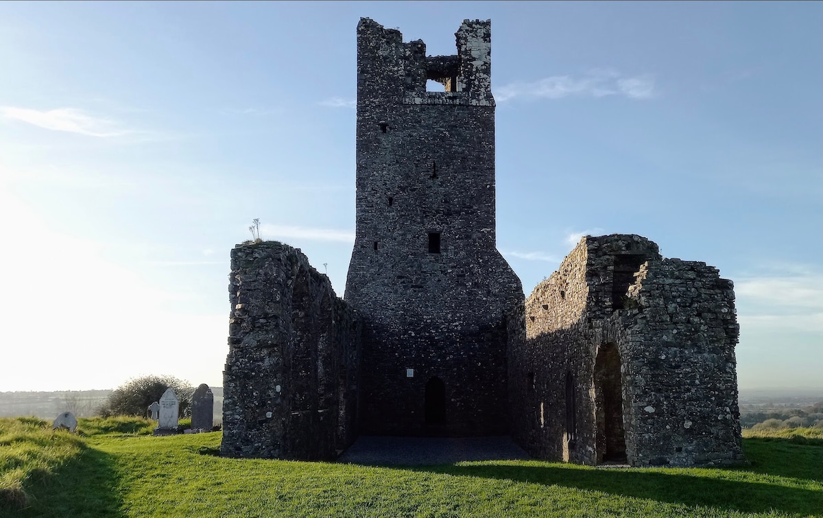 CastleCastle, motte · 439 yd
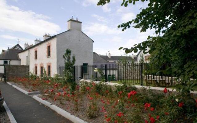 Enclosure in RathfeighEnclosure · 776 yd
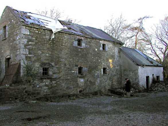 Delaney's Millmill (water) · 1181 yd
 Macetown CastleCastle, tower house · 1579 yd
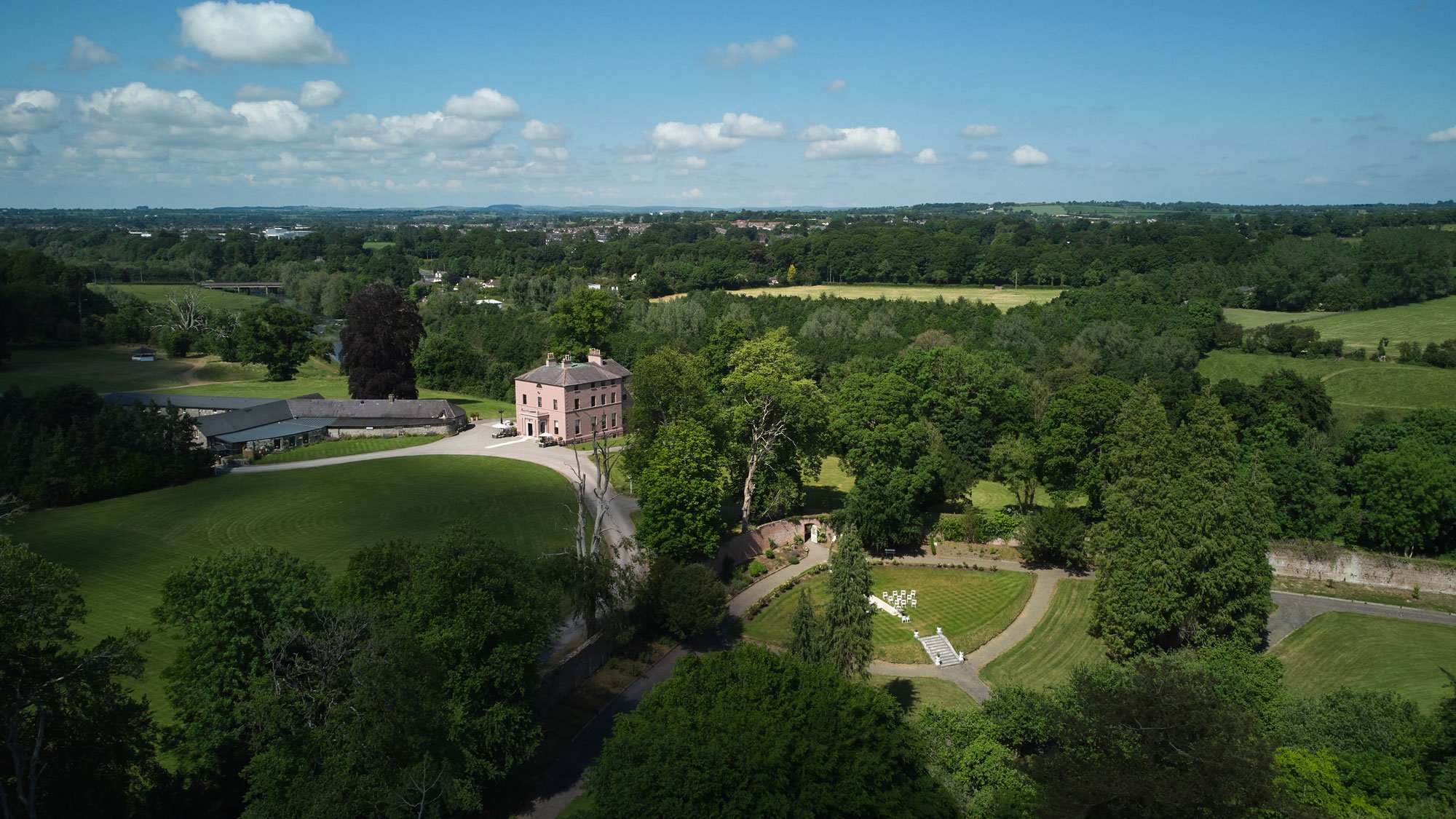 Enclosure in BellewEnclosure · 1.1 mi
 Candle HillMountain / peak · 2.2 mi
 PuddenhillHeritage attraction · 2.5 mi
 European ashEuropean ash · 2.6 mi
 European BeechEuropean Beech · 2.9 mi
 Emerald ParkHeritage attraction · 3.3 mi
 Newtown HillMountain / peak · 3.6 mi