What is recorded here
Mutton Bay, County Antrim. A promontory fort on a narrow neck of rock, sea on three sides. The land itself became the defensible shape: a thin tongue jutting into the bay, narrow enough that a small group could watch every approach. The cliff and water did the work a wall would have done. People may have stood at that edge in rain or storm, marking territory, keeping watch, or simply surviving the Atlantic edge of the world.
The official Northern Ireland record identifies this as Promontory fort. The official map point was placed at the centre of the recorded archaeological site from the source map reference.
The monument record does not grant public access. Check the route and ask the landowner before entering private land.
- What survives
- Recorded monument
Places near here
 ENCLOSURE (rath?; O.S. memoir site) in Ballintrae; GortcappleENCLOSURE (rath?; O.S. memoir site) · 458 yd
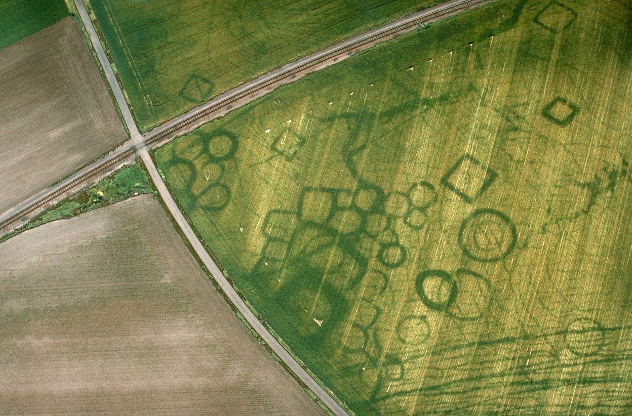 A.P. SITE: CROPMARK OF POSSIBLE ENCLOSURE in BoneyclassaghA.P. SITE: CROPMARK OF POSSIBLE ENCLOSURE · 536 yd
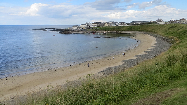 Portballintrae BeachBeach / strand · 769 yd
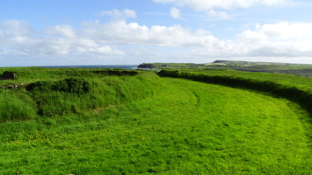 Lissanduff EarthworksNature reserve · 1385 yd
 Mermaid CaveCave · 1603 yd
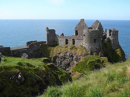 Dunluce CastleHeritage attraction · 1627 yd
 MULTI-PERIOD CASTLEMULTI-PERIOD CASTLE, C15th-POST-MEDIEVAL, with ROCK-CUT Man-made underground passage: DUNLUCE CASTLE · 1638 yd
 Runkerry BeachVisitor information · 1705 yd
 Runkerry Stand (Bushfoot)Beach / strand · 1.1 mi
 RUNKERRY HouseCountry House · 1.4 mi
 Post OfficeShop · 1.6 mi
 Old Bushmills DistilleryHeritage attraction · 1.8 mi