What is recorded here
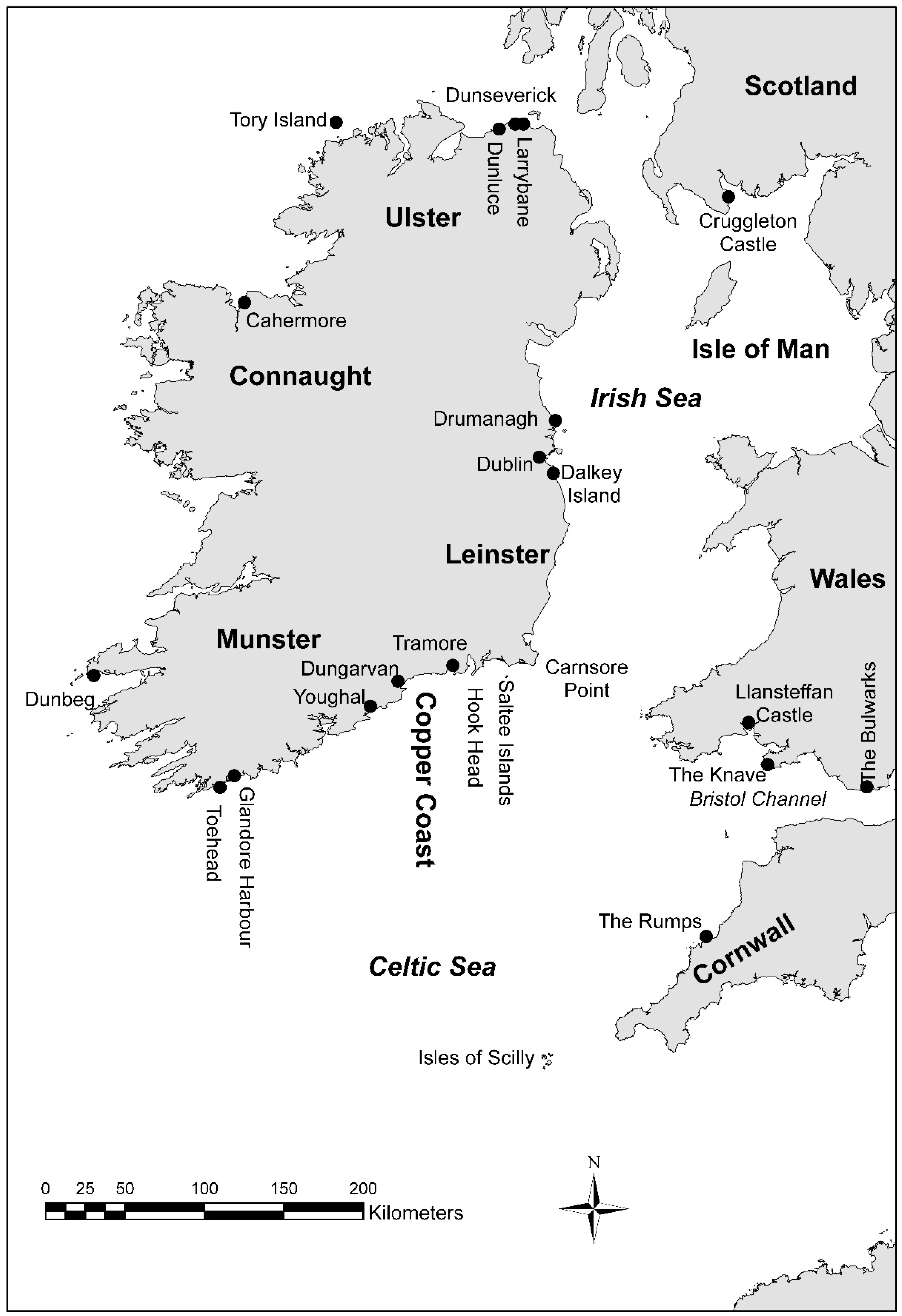
Identified from an aerial survey by Markus Casey who described this possible monument as diamond-shaped S-facing island (L 33m) which has a barely discernible series of undulations at its narrow isthmus, suggesting the former presence of a bank and fosse. The neck of the promontory has recently collapsed, leaving only low mounds on either side of the isthmus. Low earthworks close to the northern edge form a subrectangular enclosure and the remains of an earthen perimeter bank are visible. The monument is accessible as is the sea below, though with difficulty. The site is surrounded by 75' high cliffs and the area is one of mixed quality pasture. (Casey 2001)
Compiled by: Jean Farrelly
Date of upload: 24 November 2021
The monument record does not grant public access. Check the route and ask the landowner before entering private land.
- What survives
- Recorded monument
Places near here
 IndicatedPromontory fort, coastal · 516 yd
 Metal Man Towerbeacon · 547 yd
 The Metal ManHeritage attraction · 547 yd
 Newtown WoodsWood · 1165 yd
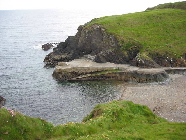 Newtown CoveBeach / strand · 1245 yd
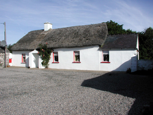 Historic buildingOfficially recorded historic building · 1282 yd
 Garrarus StrandBeach / strand · 1.1 mi
 Burnt mound in CoolnagoppogeBurnt mound · 1.5 mi
 Doneraile WalkWalking route · 1.6 mi
 Cannon GunBattlefield · 1.7 mi
 Tourist InformationVisitor information · 2.1 mi
 Tramore Tourist OfficeVisitor information · 2.2 mi
Other information
Photo: Credit not shown in the picture search · Rights wording not checked; contact us if this picture should be removed