What is recorded here
Promontory fort is a coastal defensive site in County Cork, Ireland, where a narrow neck projects over Siege Cove. The Caisleanin uses a rock-cut fosse and cliff edge to block entry, while a stone wall and interior depressions suggest people lived or worked there. The sea, rock and built features still shape a small place where defence and daily life met the coast.
Subrectangular area (L 70m; Wth 22m) projecting SE over Siege Cove. Known locally as "The Caisleanin". Narrow neck defended by rock-cut fosse (Wth 4m; D 2m); field fence on landward side. Interior divided on long axis (N-S) by natural fault. Stone built wall (H 1m) on N cliff-edge. Two depressions and one possible hut site (CO143-085001-) noted in interior.
The above description is derived from the published 'Archaeological Inventory of County Cork. Volume 1: West Cork' (Dublin: Stationery Office, 1992). In certain instances the entries have been revised and updated in the light of recent research.
Date of upload/revision: 14 January 2009
The monument record does not grant public access. Check the route and ask the landowner before entering private land.
- What survives
- Recorded monument
Places near here
 Kilcarrignacat B Gd (Children)Burial ground · 245 yd
 Famine VillageRuins · 413 yd
 Hut site in ReenogrenaHut site · 567 yd
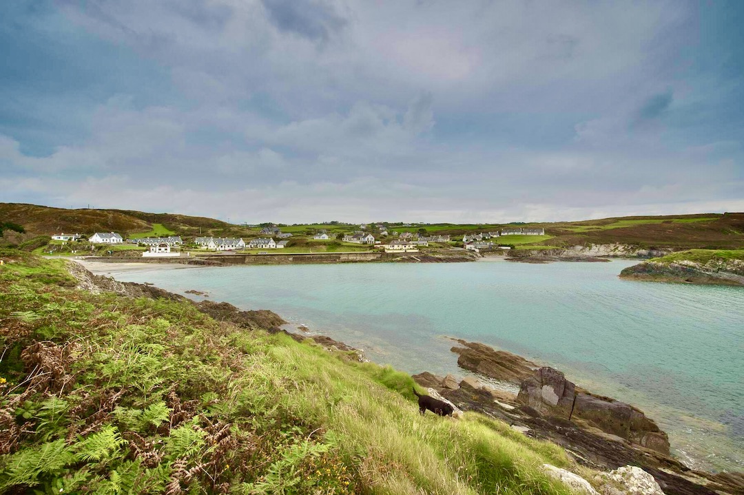 Faill na SeabhachCliff · 732 yd
 Trá an tAonaighBeach / strand · 1427 yd
 Prison CoveBeach / strand · 1753 yd
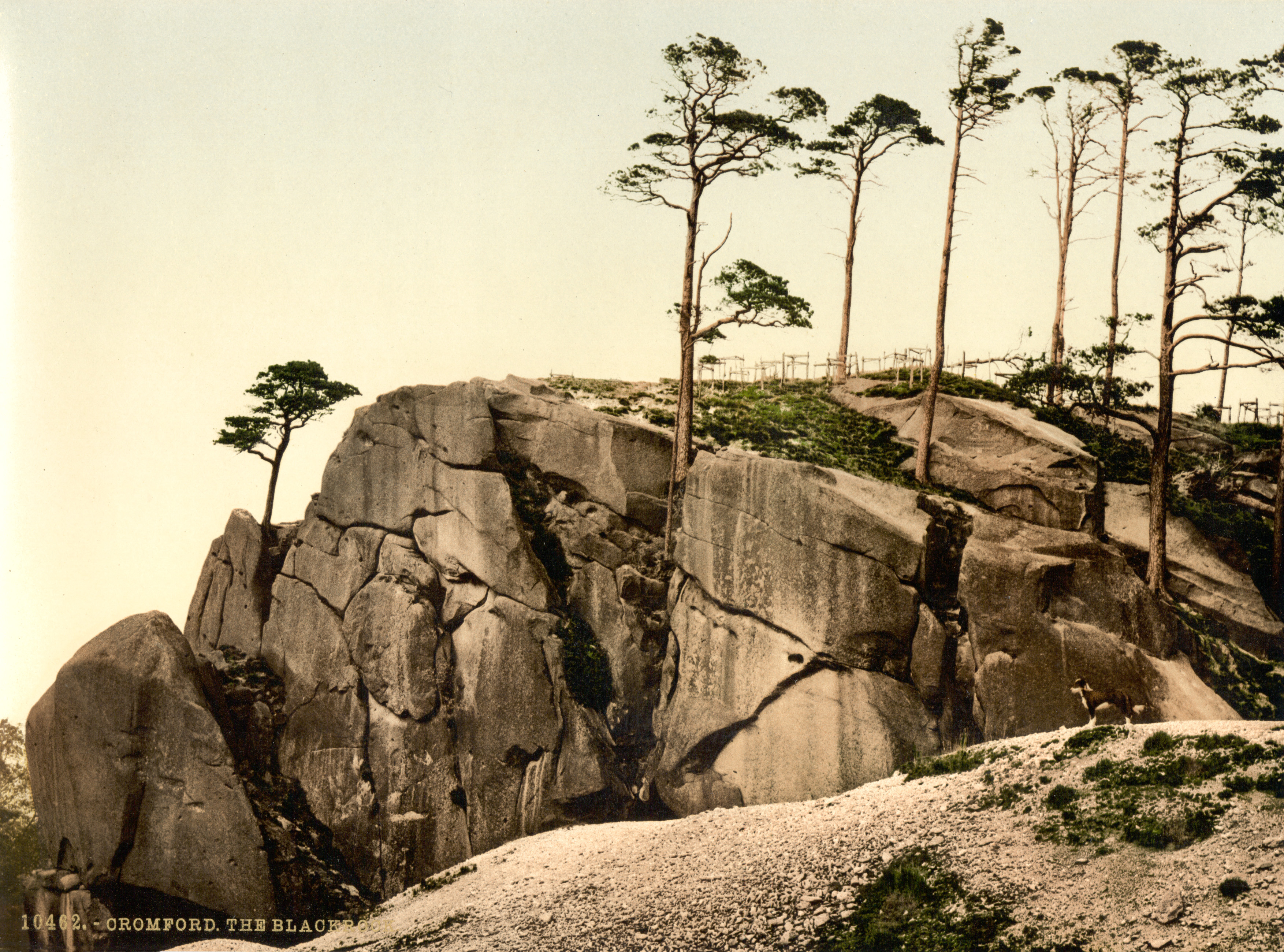 The Black RocksIslet · 1.1 mi
 Drombeg Stone CircleArchaeological place · 1.3 mi
 Adam's IslandIslet · 1.3 mi
 Drombeg Fulacht Fia and RuinsVisitor information · 1.3 mi
 Drombeg Househouse · 1.5 mi
 Lookout over MillcoveViewpoint · 1.5 mi