What is recorded here
Coosnaskirtane and Coosacunnig squeeze a narrow strip of land into a natural trap, forcing whoever lived there to build only a thin bank across the final three-metre gap. The sea did the heavy lifting while human hands completed the circuit, creating a small defensible space where retreat became impossible. That much is visible in the stones; the rest belongs to imagination.
This narrow promontory is located between two narrow inlets, Coosnaskirtane and Coosacunnig, a short distance S of KE087-046----. It is defended at its landward end by two low banks which average .65m high and stretch 15.5m across its neck. The outer bank is poorly preserved. The promontory extends SW for 46m; at 23m, however, its width is reduced to 3m by a narrow inlet on its N side. At this point a bank spans the promontory, and reaches a maximum height of 1.1m. No other features are apparent.
The above description is derived from A. O'Sullivan and J. Sheehan (compilers), 'The Iveragh peninsula: an archaeological survey of South Kerry'. Cork University Press (1996), no. 450. In certain instances the entries have been revised and updated in the light of recent research.
Date of upload: 30 July 2013
The monument record does not grant public access. Check the route and ask the landowner before entering private land.
- What survives
- Recorded monument
Places near here
 Doon PointPromontory fort, coastal · 343 yd
 Church in Long IslandChurch · 649 yd
 Horse IslandIslet · 804 yd
 Long IslandIslet · 822 yd
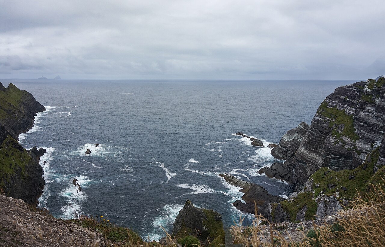 Kerry CliffsHeritage attraction · 1202 yd
 Kerry Cliffs ExperienceHeritage attraction · 1226 yd
 Old Watch TowerRuins · 1517 yd
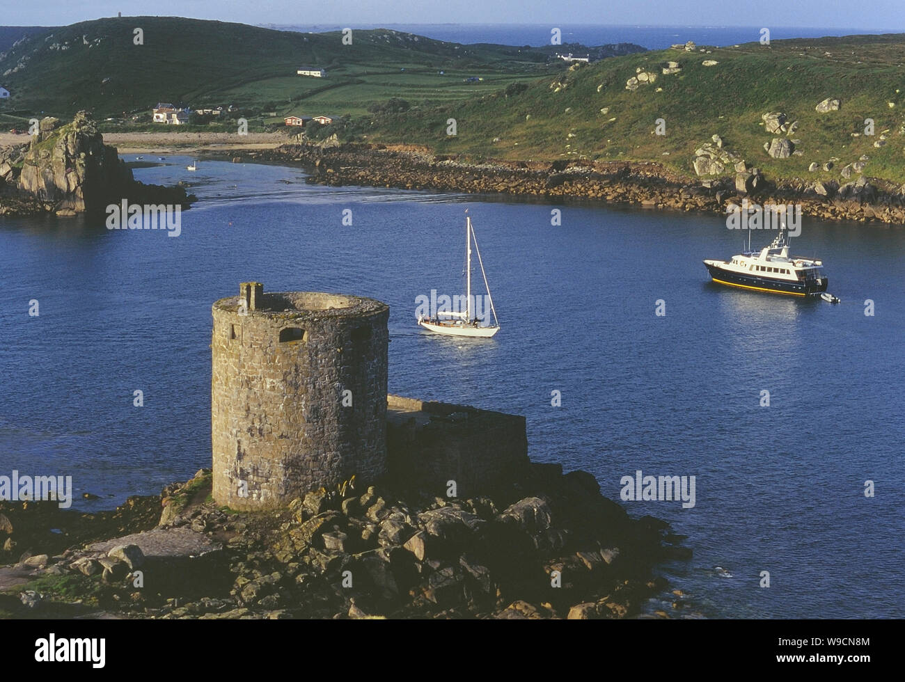 Cromwells Fort, Old Watch Tower (in ruins)Fortification · 1542 yd
 Telegraph Field Valentia IslandMemorial · 1.1 mi
 Tobairin Holy WellSpring · 1.5 mi
 Sean LochaCliff · 1.6 mi
 Tráigh na SplinceBeach / strand · 1.7 mi