What is recorded here
Long Island in County Kerry wears a thin curving bank across its eastern end, possibly a promontory fort or possibly only a boundary marker. A wide fosse runs beside it, and a circular burial enclosure marks the lowest point of the island. The remains are so slight they may never have defended anyone, yet they still divide the island into lived space and remembered death.
Possible promontory fort described in 2003 as follows; ‘Not yet visited on the ground, this consists of a curving bank or wall cutting off the eastern end of Long Island. A wide fosse, possibly associated, runs parallel to the bank immediately outside it. A circular enclosure used as a burial ground lies at the extreme lowest point of the island. The nature of the remains is unclear, possibly being too slight ever to have been a defensive structure' (Casey 2003, 38).
The monument record does not grant public access. Check the route and ask the landowner before entering private land.
- What survives
- Recorded monument
Places near here
 Church in Long IslandChurch · 108 yd
 Long IslandIslet · 189 yd
 Horse IslandIslet · 371 yd
 Doon PointPromontory fort, coastal · 417 yd
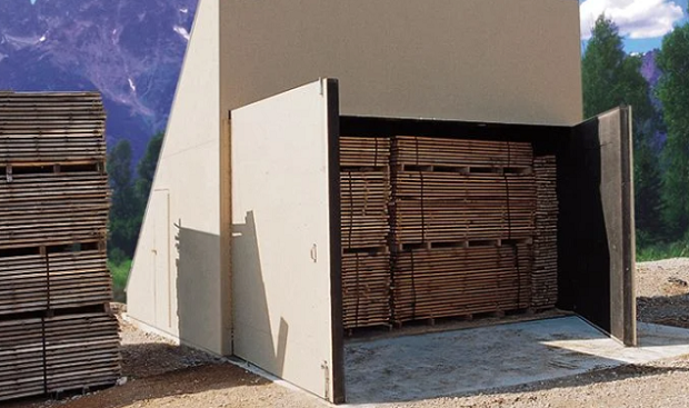 KilnKiln, corn-drying · 1061 yd
 Cultivation ridges in BrayCultivation ridges · 1197 yd
 Telegraph Field Valentia IslandMemorial · 1.0 mi
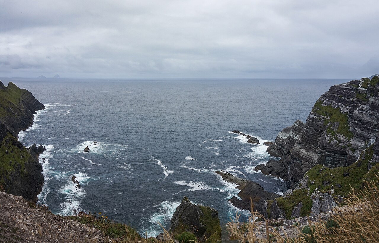 Kerry CliffsHeritage attraction · 1.0 mi
 Kerry Cliffs ExperienceHeritage attraction · 1.0 mi
 Sean LochaCliff · 1.8 mi
 Tobairin Holy WellSpring · 1.9 mi
 Tráigh na SplinceBeach / strand · 1.9 mi