What is recorded here
Two shallow ditches and a slight bank mark the western edge of Long Island in County Kerry, perhaps a forgotten fort or perhaps only the sea eating memory. The low ground suggests erosion, yet the shape remains stubborn enough to tempt imagination. A burial ground waits at the opposite end, completing a small life cycle between defense and death.
Possible promontory fort described in 2003 as follows; ‘Two shallow parallel ditches and a slight bank are visible on the western end of Long Island cutting off a small area of the island. The nature of the visible features is unclear and the site has not yet been examined on the ground. The remains are likely to be too scant to have been a defended headland, although the lowlying nature of the area would contribute to heavy erosion. A burial ground within a circular enclosure lies at the opposite end of the island’ (Casey 2003, 37, no. L).
The monument record does not grant public access. Check the route and ask the landowner before entering private land.
- What survives
- Recorded monument
Places near here
 Long IslandIslet · 62 yd
 Church in Long IslandChurch · 333 yd
 Horse IslandIslet · 547 yd
 Doon PointPromontory fort, coastal · 558 yd
 KilnKiln, corn-drying · 960 yd
 Cultivation ridges in BrayCultivation ridges · 1087 yd
 Bray HeadMountain / peak · 1.1 mi
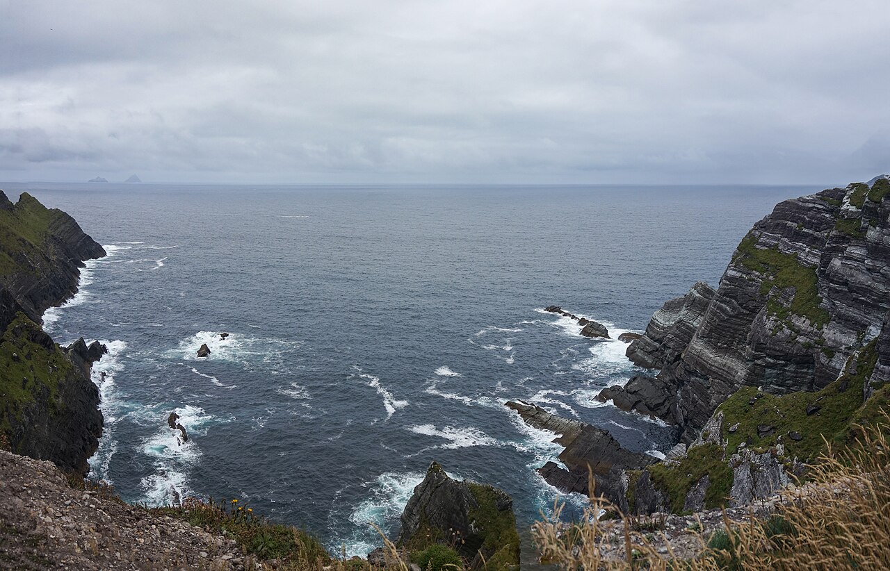 Kerry CliffsHeritage attraction · 1.1 mi
 Telegraph Field Valentia IslandMemorial · 1.1 mi
 Sean LochaCliff · 1.8 mi
 Tráigh na SplinceBeach / strand · 1.9 mi
 Tobairin Holy WellSpring · 2.0 mi