What is recorded here
Identified from an aerial survey by Markus Casey who described this monument as a long narrow undulating promontory (L 60m) which juts out into the rocky shore immediately to the E of Illaunacoltia. Flanked by a sandy beach to the W and sea rocks to the E and surrounded by 50’ high steep cliffs with some sward clinging to the sides of the fort. The headland has a straight fosse (Wth 3m; D 1.4m) running across the neck (Wth 11m) which is wider towards the E where some relatively recent excavation was carried out. A slight rise in the level of the interior along the edge of the fosse suggests an inner bank. A causeway crosses the fosse close to the eastern edge. The remains of earthworks, possibly representing banks and an intervening fosse lie close to the tip of the headland. The area is one of fertile pasture. (Casey 2001)
Compiled by: Jean Farrelly
Date of upload: 24 November 2021
The monument record does not grant public access. Check the route and ask the landowner before entering private land.
- What survives
- Recorded monument
Places near here
 Promontory fortPromontory fort, coastal · 269 yd
 Garrarus StrandBeach / strand · 668 yd
 IndicatedPromontory fort, coastal · 791 yd
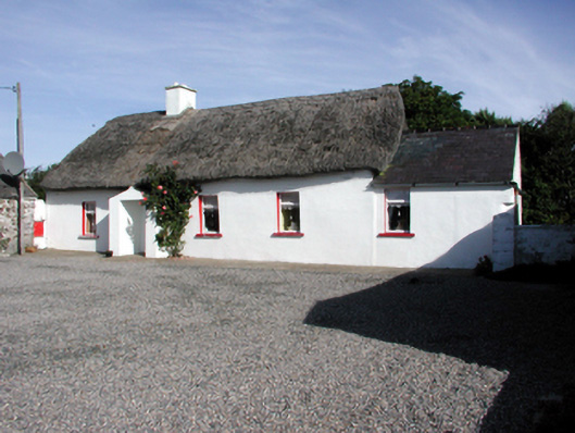 Historic buildingOfficially recorded historic building · 1408 yd
 Metal Man Towerbeacon · 1.0 mi
 The Metal ManHeritage attraction · 1.0 mi
 Newtown WoodsWood · 1.3 mi
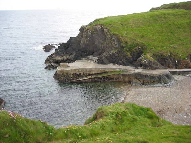 Newtown CoveBeach / strand · 1.4 mi
 Doneraile WalkWalking route · 2.2 mi
 Cannon GunBattlefield · 2.3 mi
 Fenor BogNature reserve · 2.5 mi
 Ballyscanlon HillMountain / peak · 2.5 mi