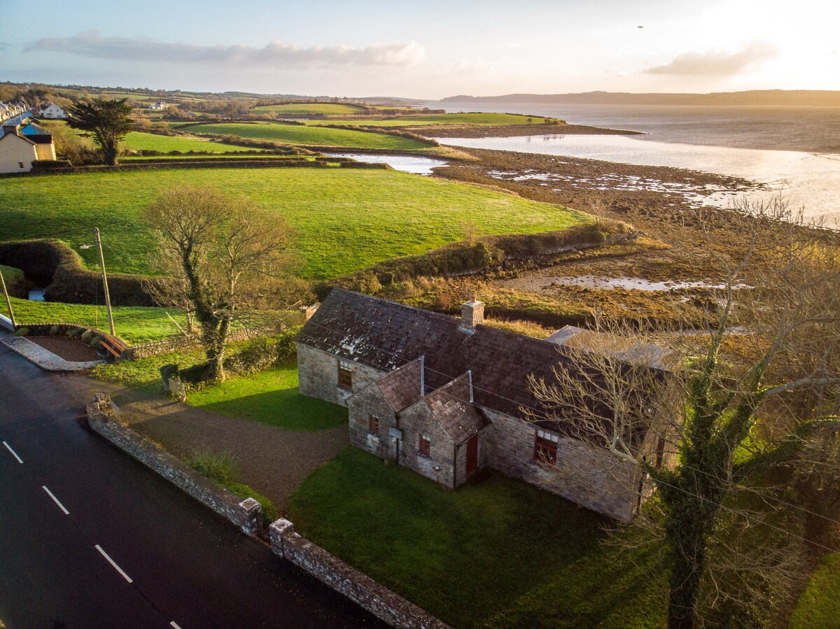
What is recorded here
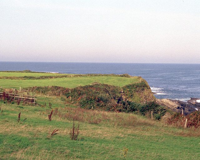
Promontory fort occupies a narrow coastal ridge where Cliffs and sky meet, proving that people shaped the edge before records named it. Its banks and ditches cut across living land, directing flow, sight and memory toward the sea. The fort does not need approval because it still performs its function: it holds attention, marks boundary and participates in the life of the place.
Situated on a low west-facing headland named ‘Emlagh Point’ in lowlying fertile pasture 600m N of the village of Quilty. A triangular area (Wth 15m; L 15m) at the westernmost point of the headland is defined on its landward side by a bank of earth and stone (av. H 1.2m) with an outer fosse (Wth 1.25m; D 0.3m). A single straight bank with an external fosse is visible as a vegetation mark c. 20m further inland. This was built on a low ridge which crosses the headland SW-NE. A further 90m to the E, also visible as vegetation marks, are the remains of two parallel banks and possibly two external fosses. The total area enclosed would have been 125m by 160m. The interior contains a small depression near the northern cliff-edge and is otherwise featureless. The promontory is overlooked by a bivallate ringfort (CL030-021001-) 170m to the east. (Casey 1999, 180, Clare 10)
Compiled by: Mary Tunney
Date of upload: 20 September 2016
The monument record does not grant public access. Check the route and ask the landowner before entering private land.
- What survives
- Recorded monument
Places near here
 Emlagh PointHeadland · 44 yd
 RinbaunFairy fort / earthen ringfort · 280 yd
 Caherrush Children's Burial GroundArchaeological place · 1089 yd
 Catholic Church of Our Lady Star of the Seachurch/chapel · 1099 yd
 Caherrush Castle (in Ruins)Castle, tower house · 1239 yd
 Spanish Point BeachBeach / strand · 1.4 mi
 Bealaclugga Bridgebridge · 1.4 mi
 Seafield North BeachBeach / strand · 1.5 mi
 Tromra CastleCastle, tower house · 1.7 mi
 Spanish PointHeadland · 1.8 mi
 Lurga PointHeadland · 1.8 mi
 Mutton IslandIsland · 2.9 mi
Other information
Photo: Credit not shown in the picture search · Rights wording not checked; contact us if this picture should be removed