What is recorded here
Dundeady Head in County Cork still carries a medieval wall across its narrow neck, though the sea may have swallowed the larger fortification Westropp imagined. The visible stone line crosses what remains of a coastal promontory, suggesting human hands shaped a place the ocean later erased.
No obvious remains of defences earlier than the medieval ones (CO144-039003-) which cross neck of Dundeady (or Galley) Head, though Westropp (1914, 144) suggests these might mask earlier ones. Dip in front (to N) of curtain wall has fosse-like appearance, though probably natural feature. Westropp also surmised that the fortified headland of Dundeady may have been "one of the long, narrow wrecks of headlands near the lighthouse, now swept away".
The above description is derived from the published 'Archaeological Inventory of County Cork. Volume 1: West Cork' (Dublin: Stationery Office, 1992). In certain instances the entries have been revised and updated in the light of recent research.
Date of upload/revision: 14 January 2009
The monument record does not grant public access. Check the route and ask the landowner before entering private land.
- What survives
- Recorded monument
Places near here
 Hut site in DundeadyHut site · 207 yd
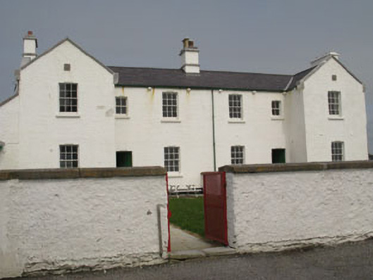 Galley Head Lighthouse Keepers' Houseslighthouse keeper's house · 215 yd
 Galley Head Lighthouselighthouse · 277 yd
 Dundeady Castle (in Ruins)Castle, tower house · 324 yd
 Galley HeadViewpoint · 376 yd
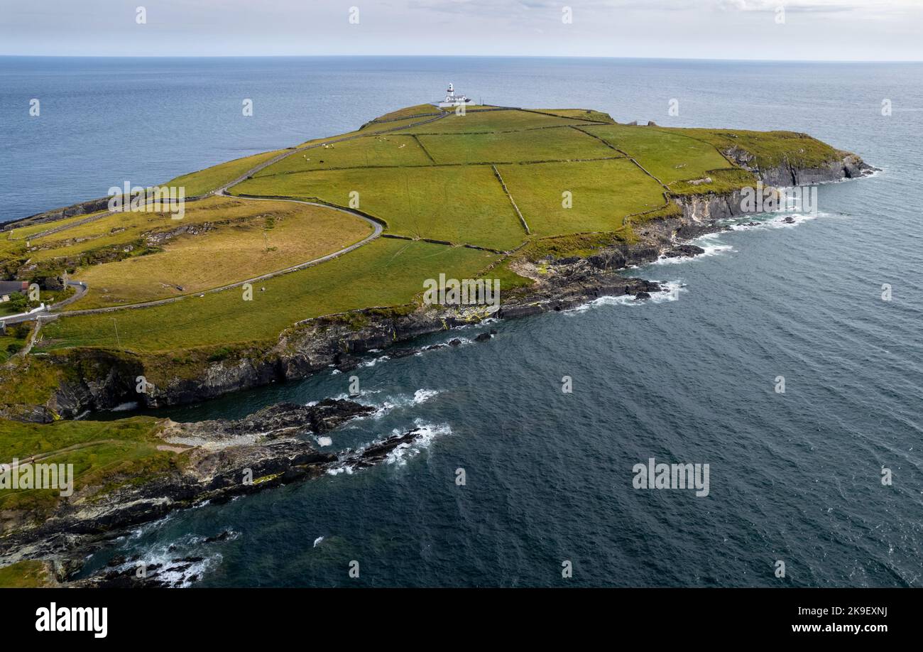 Man-made underground passage in DundeadyMan-made underground passage · 1109 yd
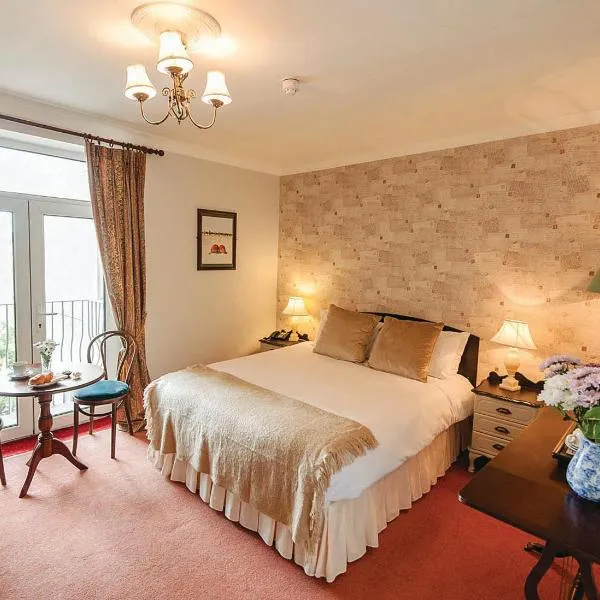 Donoure Castle (in Ruins)Castle, unclassified · 1496 yd
 Red StrandBeach / strand · 1.6 mi
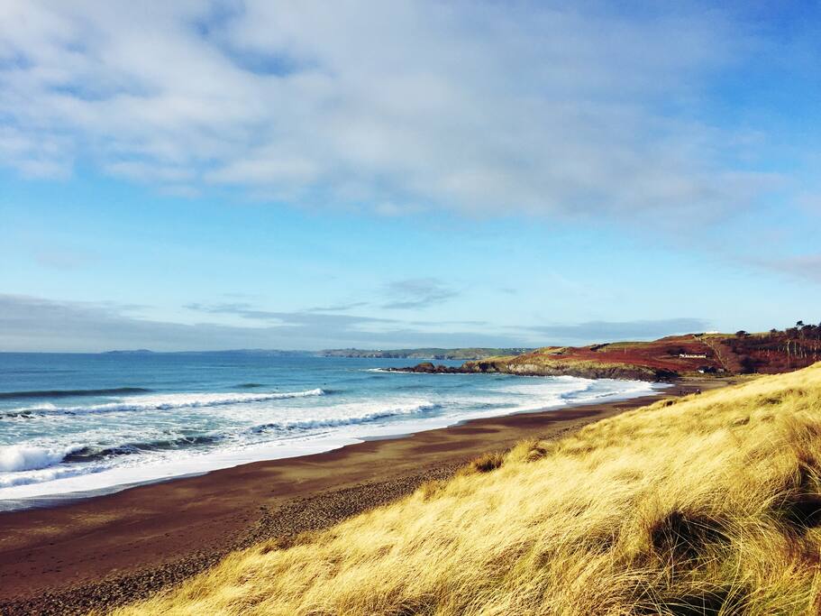 The Long StrandBeach / strand · 1.7 mi
 Long Strand DunesNature reserve · 1.8 mi
 Galley Head ViewViewpoint · 2.4 mi
 Lord Carbery's Cross TrailWalking route · 2.5 mi