What is recorded here
Mnemo is the name of the place, but the story is the shape of the place. A fort on a promontory is a fort that uses the sea as a wall. The cliff does the work of a ditch, the water does the work of a guard, and the land is narrowed until defence becomes a knife edge. That is why coastal forts still look proud instead of damaged. They were not built against a flat world. They were built against a world that could be read at a glance.
The Archaeological Survey of Ireland (ASI) is in the process of providing information on all monuments on The Historic Environment Viewer (HEV). Currently the information for this record has not been uploaded. To access available information for research purposes please make an appointment in advance with the Archive Unit (open Fridays 10.00 am – 5.00 pm), Department of Housing, Local Government and Heritage, The Custom House, Dublin 1 D01W6XO or email NMarchive@housing.gov.ie.
The monument record does not grant public access. Check the route and ask the landowner before entering private land.
- What survives
- Recorded monument
Places near here
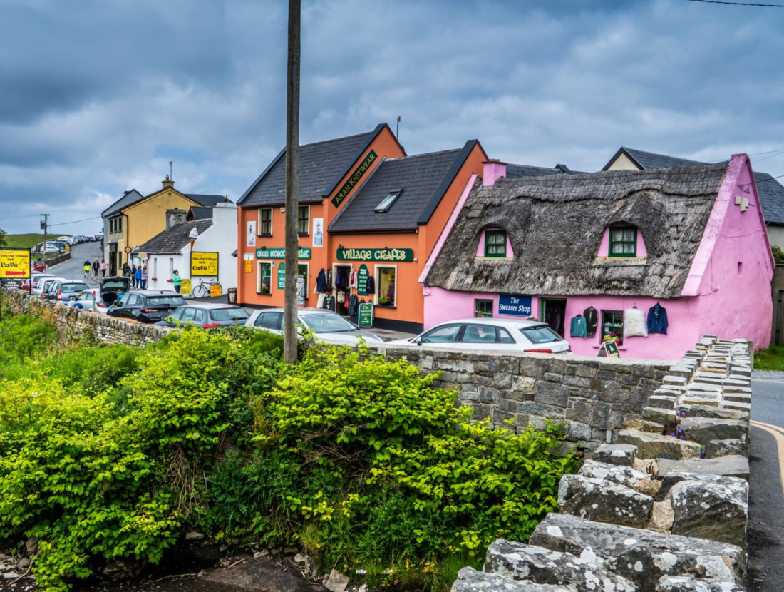 Promontory fortPromontory fort, coastal · 81 yd
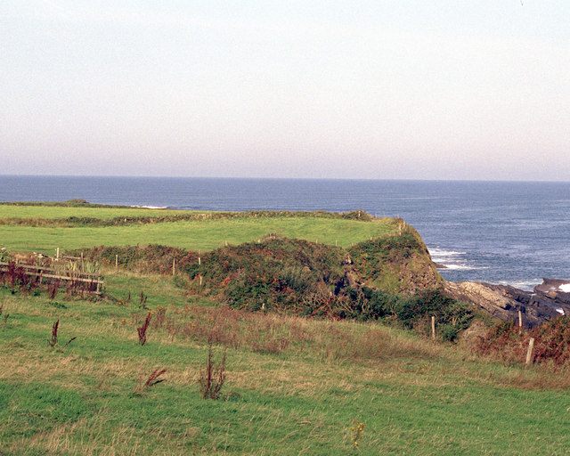 Caherrush Castle (in Ruins)Castle, tower house · 158 yd
 Caherrush Children's Burial GroundArchaeological place · 199 yd
 Emlagh PointHeadland · 1192 yd
 Spanish Point BeachBeach / strand · 1542 yd
 Bealaclugga Bridgebridge · 1.0 mi
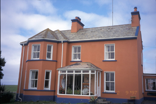 Atlantic Lodgecoastguard station · 1.1 mi
 Spanish PointVisitor information · 1.1 mi
 Seafield North BeachBeach / strand · 2.1 mi
 Tromra CastleCastle, tower house · 2.3 mi
 Lurga PointHeadland · 2.3 mi
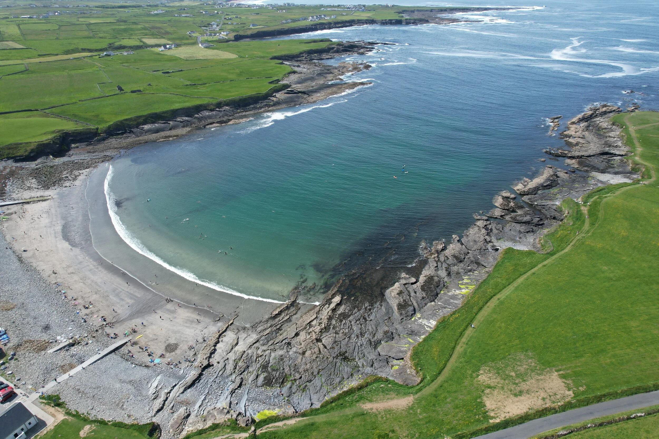 White StrandBeach / strand · 2.6 mi