What is recorded here
Promontory fort is a long ridge-backed headland in N Mayo where a wide shallow curving fosse cuts across the neck, leaving a featureless interior forty-one metres across and one hundred and four metres long. The steep cliffs, nearby freshwater stream and coastal view suggest people valued the place enough to mark its entrance, though no bank or causeway remains visible. It may have served as a watchpoint, seasonal camp or boundary marker along this indented bogland coast.
Situated on a long ridge-backed promontory jutting out from the deeply indented coastline of N Mayo in an area of hilly bogland. The headland is flanked by steep cliffs and is overlooked by higher ground to the S. There is a good view along the coast and a freshwater stream runs through a nearby gully. A wide shallow curving fosse runs across the neck of the promontory. Its width varies between 4m and 6m and it averages 0.7m in depth. There is no entrance causeway and no trace of any bank. The interior measures 41m across and 104m long. Besides a path running through it, it is quite featureless. One of three promontory forts (MA006-009---, MA006-010---) along N-facing stretch of coastline. The site had not been previously recorded.
These descriptions are derived from the MA thesis of Markus Casey 1999 The coastal promontory forts of Ireland. A survey of counties Sligo, Mayo, Galway and Clare. Unpublished MA thesis, National University of Ireland, Galway. In this instance the entry has been revised and updated in the light of recent research.
Date of upload: 5 December 2018
The monument record does not grant public access. Check the route and ask the landowner before entering private land.
- What survives
- Recorded monument
Places near here
 Enclosure in Gleann LasraEnclosure · 785 yd
 Promontory fortPromontory fort, coastal · 1025 yd
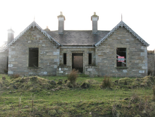 Glenlossera Lodgehunting/fishing lodge · 1115 yd
 bridgebridge · 1250 yd
 Ceide FieldsHeritage attraction · 2.5 mi
 Céide FieldsArchaeological place · 2.5 mi
 Céide Fields Visitor CentreVisitor information · 2.5 mi
 An Tamhnach MhórMountain / peak · 3.3 mi
 BlowholeCliff · 3.5 mi
 Oileán MáistirIslet · 4.9 mi
 Ballycastle BeachBeach / strand · 5.6 mi
 Castle (in Ruins)Castle, tower house · 6.8 mi