
What is recorded here
Promontory fort is a triangular headland in County Mayo where a single earthen bank and ditch cut the land from the mainland. The flat interior is partly hidden by ferns and reeds, while the wet ground outside slopes gently toward the sea. A causeway near the western cliff edge provides entry, but the rest of the defense remains quiet and unchanged.
Situated along the boggy indented coastline of N Mayo. It has a good view along the coast and is overlooked by higher ground to the S and W. The headland is flanked by a steep gully on either side and a grassy steep slope leads down to the sea to the N. A triangular N-facing headland measuring 30m long and 30m wide is cut off from the mainland by a single earthen bank and ditch. The convex bank is round topped and visible only near either cliff edge. It stands 1.4m above the base of the ditch which is flat bottomed and 4m wide at the top. Only a faint rise in the ground level outside the ditch suggests that there was a counterscarp bank. An entrance causeway crosses the defences near the western cliff edge. Besides this the site is featureless. The interior is flat and level and is partly overgrown with ferns and reeds. The land outside the site is wet and it slopes gently down towards the fort.
These descriptions are derived from the MA thesis of Markus Casey 1999 The coastal promontory forts of Ireland. A survey of counties Sligo, Mayo, Galway and Clare. Unpublished MA thesis, National University of Ireland, Galway. In this instance the entry has been revised and updated in the light of recent research.
Date of upload: 5 December 2018
The monument record does not grant public access. Check the route and ask the landowner before entering private land.
- What survives
- Recorded monument
Places near here
 Belderg National Schoolschool · 1570 yd
 Enclosure in Gleann LasraEnclosure · 1732 yd
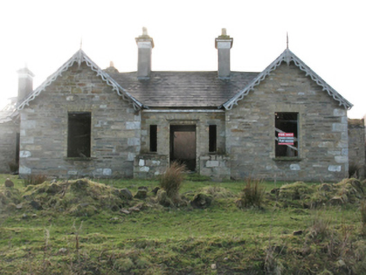 Glenlossera Lodgehunting/fishing lodge · 1.2 mi
 Enclosure in Béal Deirg BeagEnclosure · 1.2 mi
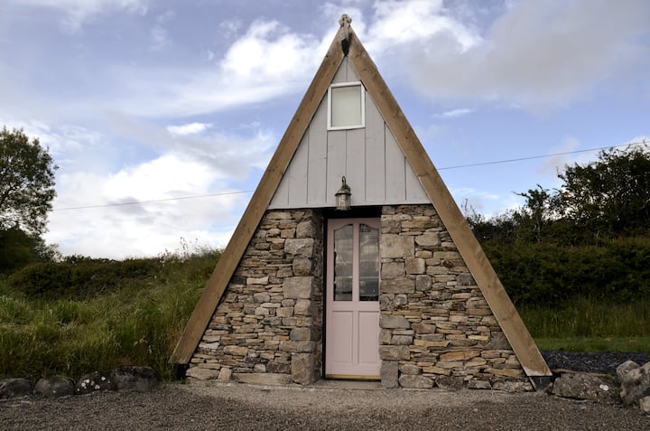 An Tamhnach MhórMountain / peak · 2.9 mi
 Ceide FieldsHeritage attraction · 3.1 mi
 Céide Fields Visitor CentreVisitor information · 3.1 mi
 Céide FieldsArchaeological place · 3.1 mi
 BlowholeCliff · 4.1 mi
 Oileán MáistirIslet · 4.3 mi
 Ballycastle BeachBeach / strand · 6.2 mi
 Castle (in Ruins)Castle, tower house · 7.4 mi
Other information
Photo: Credit not shown in the picture search · Rights wording not checked; contact us if this picture should be removed