What is recorded here
Promontory fort in County Mayo is a circular stone-and-earth refuge clinging to a sheer western cliff, joined to the mainland by an eight-metre neck where a buried ditch and bank still shadow the grass. Sheep graze the fertile slopes above while a stream cuts the eastern rock, suggesting people once valued the narrow escape route and the deadly sea barrier as much as the interior space. The western edge has slipped in recent years, reminding visitors that the fort remains alive under the pasture rather than frozen as a dead ruin.
Situated in an area of hilly fertile pastureland and sheep grazing. The W facing headland is overlooked by higher ground inland and is surrounded by sheer cliffs. A stream runs down the cliff face to the E. A roughly circular area measuring 45m E-W by 40m N-S is joined to the mainland by an 8m wide neck of land. This neck shows faint traces of a fosse with a revetted earth and stone bank lying outside the narrowest point of the isthmus. The interior slopes gently down to the NE and is featureless. Recent slippage of material has taken place along the western edge of the garth. One of three promontory forts (MA006-008----, MA 006-010----) along N facing stretch of coastline.
These descriptions are derived from the MA thesis of Markus Casey 1999 The coastal promontory forts of Ireland. A survey of counties Sligo, Mayo, Galway and Clare. Unpublished MA thesis, National University of Ireland, Galway. In this instance the entry has been revised and updated in the light of recent research.
Date of upload: 5 December 2018
The monument record does not grant public access. Check the route and ask the landowner before entering private land.
- What survives
- Recorded monument
Places near here
 Enclosure in Gleann LasraEnclosure · 523 yd
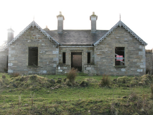 Glenlossera Lodgehunting/fishing lodge · 865 yd
 bridgebridge · 1020 yd
 Promontory fortPromontory fort, coastal · 1267 yd
 Ceide FieldsHeritage attraction · 2.3 mi
 Céide Fields Visitor CentreVisitor information · 2.4 mi
 Céide FieldsArchaeological place · 2.4 mi
 BlowholeCliff · 3.4 mi
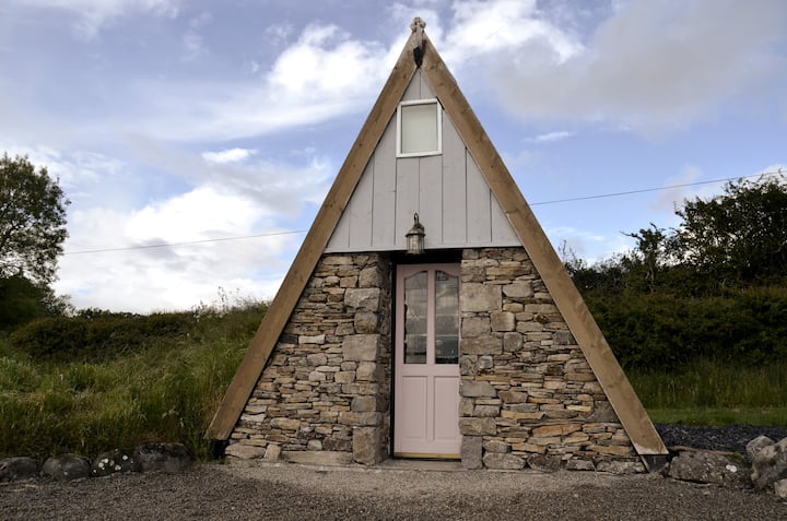 An Tamhnach MhórMountain / peak · 3.5 mi
 Oileán MáistirIslet · 5.0 mi
 Ballycastle BeachBeach / strand · 5.5 mi
 Castle (in Ruins)Castle, tower house · 6.7 mi