What is recorded here
Six decades after the last builder left the clay cliff, the flat platform still stands above the rocky shore, waiting for footsteps that may never return. Its narrow bank and stone edge mark a small rectangle where human hands shaped the land before memory faded. The sea remains the true witness, changing the coast while the fort keeps its quiet shape.
Noted by Westropp (1921, 109) as a 'fenced platform, 3ft. higher than the field and about 40ft. to 50ft. either way'. Sub-rectangular area (11m N-S; 8.5m E-W) to W of stream gully, above clay cliff; pathway on W side down to rockey shore; earthen bank (int. H 0.6m; Wth 1.4m) running E-W, defines area on landward side (N). Bank stone faced on N side, with shallow depression along base.
The above description is derived from the published 'Archaeological Inventory of County Cork. Volume 2: East and South Cork' (Dublin: Stationery Office, 1994). In certain instances the entries have been revised and updated in the light of recent research.
Date of upload/revision: 14 January 2009
The monument record does not grant public access. Check the route and ask the landowner before entering private land.
- What survives
- Recorded monument
Places near here
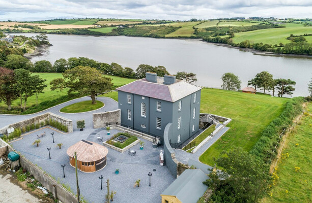 LissowenEnclosure · 764 yd
 Ballycroneen BeachBeach / strand · 1326 yd
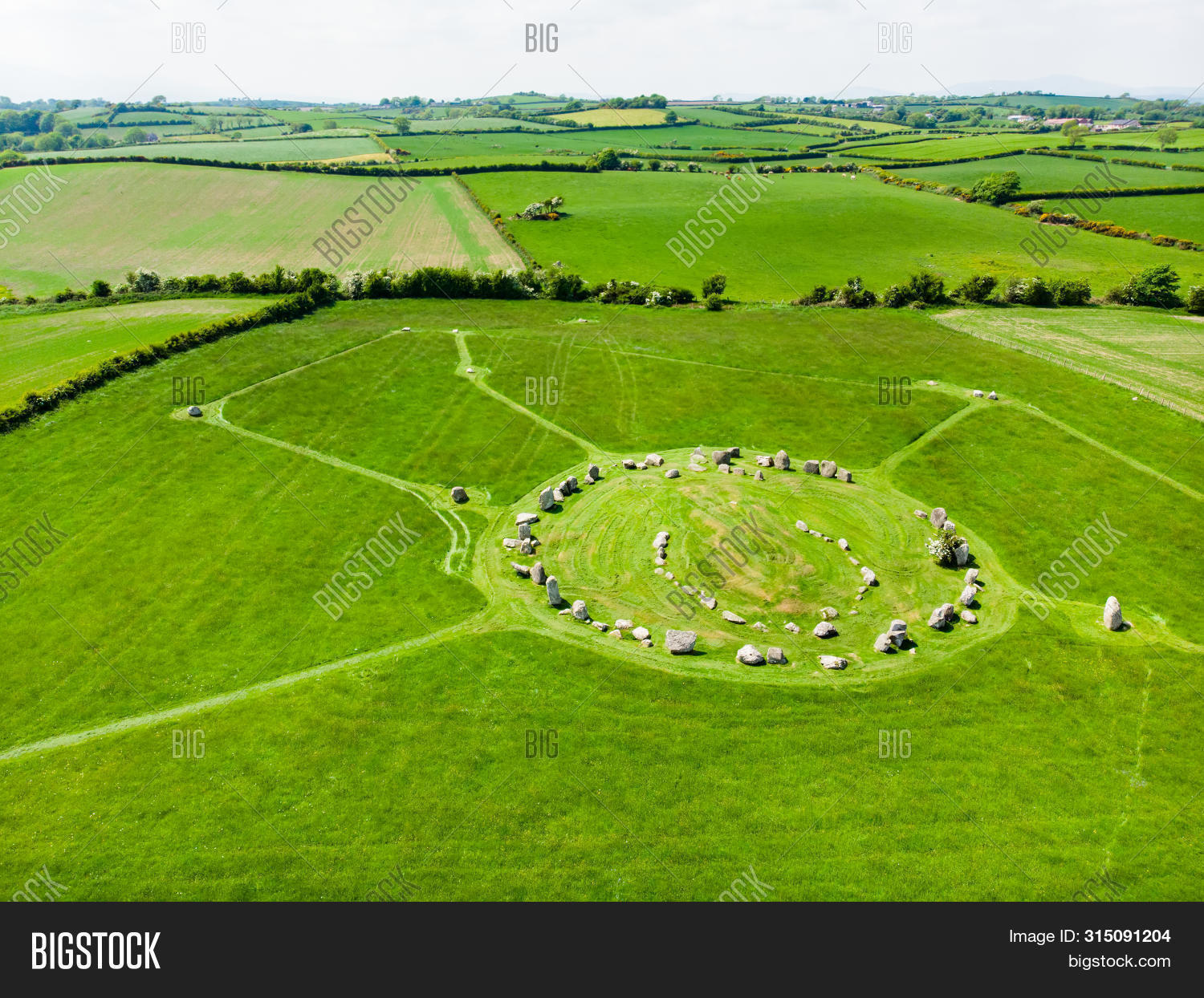 Prehistoric sitePrehistoric site, lithic scatter · 1465 yd
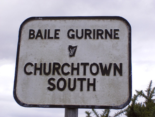 sign postsign post · 1.3 mi
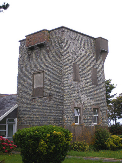 Ballmacotter Castlesignal tower · 1.3 mi
 Ballybrannigan BeachBeach / strand · 1.3 mi
 Anchor The SagaMemorial · 1.7 mi
 Doonpower (in Ruins)Castle, unclassified · 3.3 mi
 Fossil Worm TrackNamed rock · 3.8 mi
 RobertMemorial · 3.8 mi
 P.N.L.B. Mary StandfordWreck · 3.9 mi
 CastleCastle, tower house · 4.0 mi