
What is recorded here
Faill na Mná still juts into Ventry Harbour, its shallow eastern ditch deepening westward as if the sea itself had dug the trap. A worn path bypasses the broken entrance and drops toward the water, suggesting people once watched boats or fled storms rather than fought invaders. The name means woman's rock, yet no woman is named; perhaps she lived there, marked the tide, or was simply forgotten while the stone remained.
A small promontory projecting southwards into Ventry Harbour is defended to N by a single bank and fosse. No local name survives for the fort but the names Fothair na Mná and Faill na Mná are applied to nearby features (An Seabhac 1939, 49), and the latter is used by Westropp (1910, 278) to identify the site.
The outer fosse is 20.5m long and 3.5m wide. It slopes gently westwards so that the bottom of the fosse at E is only 1.75m below the external ground level whereas, at W, it is 3m deep. The bank of earth and stone rises from 2 to 3.8m above the fosse. Internally it is 3m high. The inner space isolated by these defences extends 20m southwards and is enclosed by a later wall with internal fosse which skirts the cliff edge. In the W sector is a level platform, about 6m in diameter and up to 1m high, with a central depression measuring at least 2m in diameter and less than .5m deep. This may be the remains of a circular hut-site. Westropp described such a feature at the SE edge of the site, but no trace of it survives there. Access to the site is by means of a path worn down the outer flank of the fosse and running around the E end of the bank. This continues down the cliff to the sea below and is not an original feature. The entrance may have been at this E edge but, if so, it has now fallen into the sea.
The above description is derived from J. Cuppage, ‘Corca Dhuibhne. Dingle Peninsula archaeological survey. Ballyferriter. Oidhreacht Chorca Dhuibhne’ (1986), no. 263. In certain instances the entries have been revised and updated in the light of recent research.
Date of upload: 4 August 2013
The monument record does not grant public access. Check the route and ask the landowner before entering private land.
- What survives
- Recorded monument
Places near here
 Man-made underground passage in Baile Mór ThiarMan-made underground passage · 314 yd
 Man-made underground passage in Baile Mór Thiar,baile Mór ThoirMan-made underground passage · 514 yd
 An Chathair AirdMountain / peak · 1.3 mi
 Trá Ciarán BeachBeach / strand · 1.3 mi
 Site of Ballingolin CastleArchaeological place · 1.3 mi
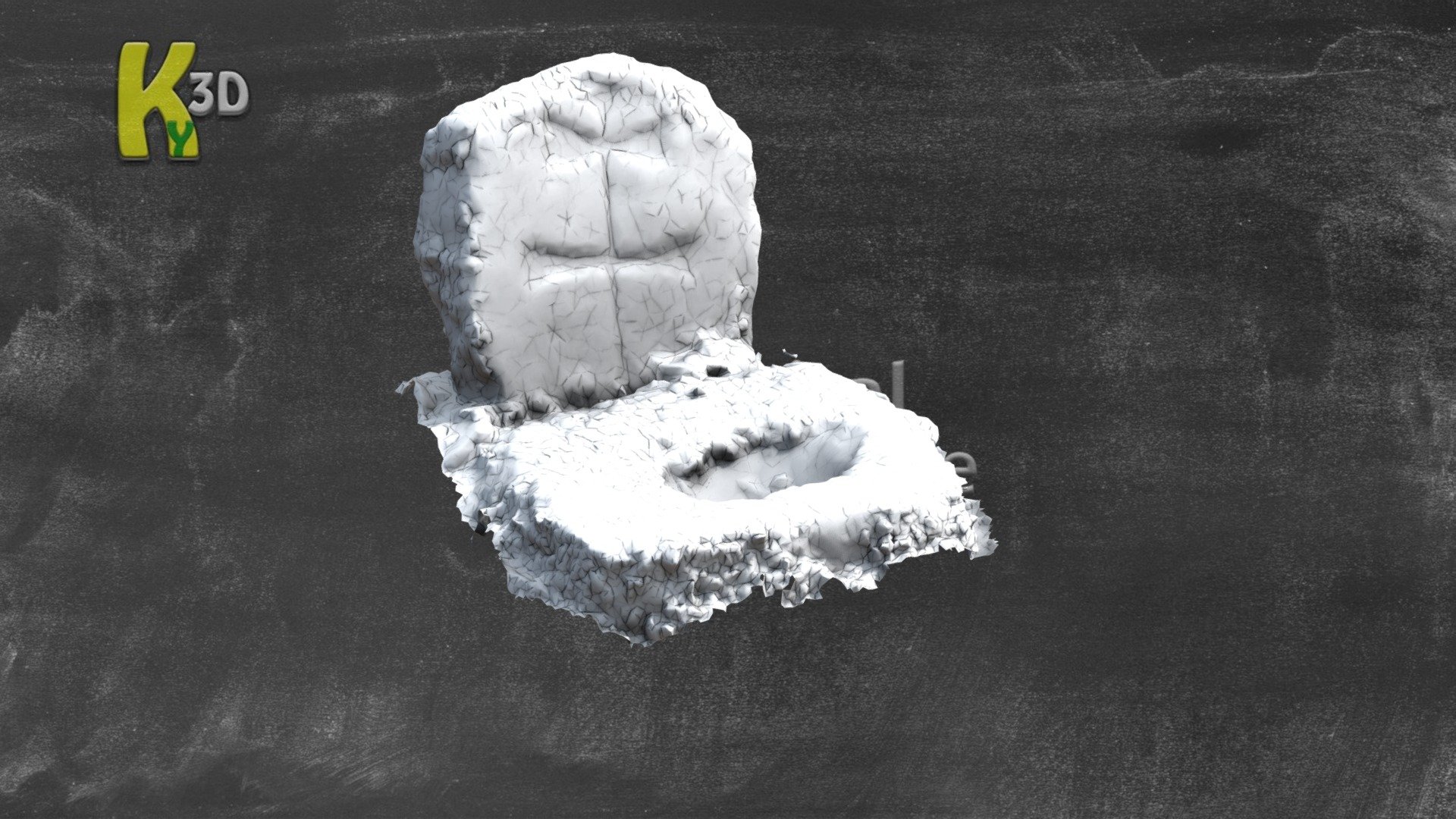 CastleCastle, unclassified · 1.3 mi
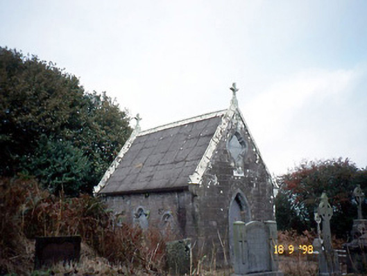 Reilig Ráithín Uí Bhuaigh [Reheenyhooig Graveyard]mausoleum · 1.4 mi
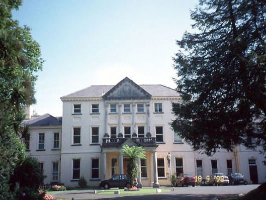 Coláiste Ídecountry house · 1.4 mi
 Cnoc na CeathrúnMountain / peak · 2.4 mi
 Dingle Marina Dive CentreHeritage attraction · 2.7 mi
 Memorial to all who lost their lives in our seas.Memorial · 2.7 mi
 Charles HaugheyMemorial · 2.8 mi
Other information
Photo: Credit not shown in the picture search · Rights wording not checked; contact us if this picture should be removed