What is recorded here
Promontory fort stands on a broad triangular headland in County Mayo, its eastern edge marked by a broken ditch that vanished before reappearing near the western end. The gap suggests builders abandoned the work, perhaps redirecting effort toward the smaller site immediately west. Fertile pasture and old cultivation ridges surround the incomplete defence, while the sea remains reachable from the interior.
Situated in an area of fertile undulating pasture and sand dunes. The surrounding land is covered with traces of old cultivation ridges and the view from the site is good. A smaller site lies immediately to the W (MA009-013001-). A broad low triangular S facing headland 90m across by 100m long shows traces of a deep fosse at the eastern edge of the headland running for a distance of 18m before diminishing to a faint depression. It reappears again as a substantial ditch 8m from the western end. A faint earthen bank can be traced running across the headland between the two lengths of fosse. It is possible that this is an example of an unfinished fortification which may have been abandoned during construction, possibly in favour of the smaller site lying immediately to the W. The faint line might be the remains of a bank marking out the position of the intended defences. The interior of the site is featureless except for traces of old lazybeds. The sea is accessible from the interior.
These descriptions are derived from the MA thesis of Markus Casey 1999 The coastal promontory forts of Ireland. A survey of counties Sligo, Mayo, Galway and Clare. Unpublished MA thesis, National University of Ireland, Galway.
Date of upload: 5 December 2018
The monument record does not grant public access. Check the route and ask the landowner before entering private land.
- What survives
- Recorded monument
Places near here
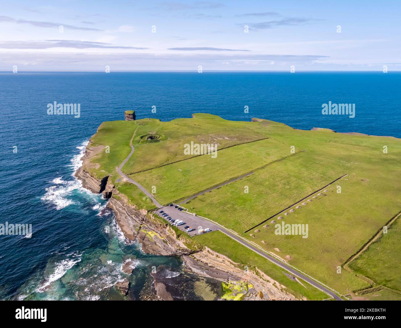 Promontory fortPromontory fort, coastal · 99 yd
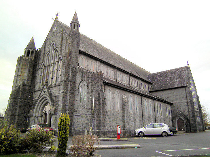 Church in An Más,tóin An MhásaChurch · 1489 yd
 Enclosure in An Carn (nash)Enclosure · 1572 yd
 Trá Bhéal DoireBeach / strand · 1.4 mi
 Church (in Ruins)Church · 1.4 mi
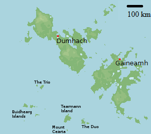 Bawn in Tearmann CaithreachBawn · 1.4 mi
 Ceann an EanaighHeadland · 1.7 mi
 Burkes Castle (Site of)Castle, unclassified · 1.7 mi
 Trá na CroiseBeach / strand · 2.1 mi
 Dún na mBó BlowholeHeritage attraction · 2.4 mi
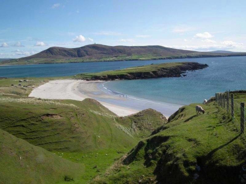 Inis GluaireIsland · 2.6 mi
 Inis CaorachIslet · 3.3 mi